Pale, town in Bosnia and Herzegovina
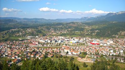
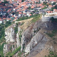
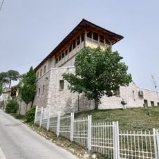
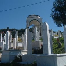
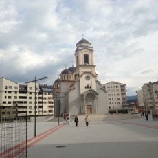
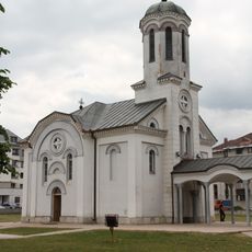
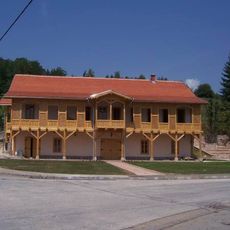
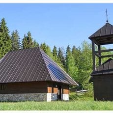
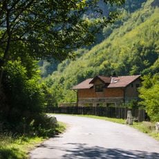
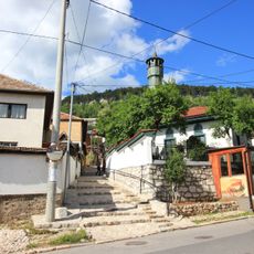
Pale is a locality in Pale Municipality in Bosnia and Herzegovina, set in hilly terrain a short distance east of Sarajevo. The settlement is made up of scattered houses, gardens, and pastures surrounded by forested slopes.
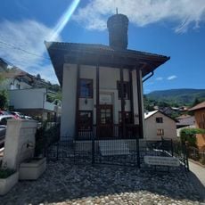
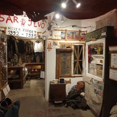
Pale developed as a rural settlement in the foothills of the Dinaric Alps and remained a small village for generations. During the war of the 1990s, the area drew international attention when it served as the wartime seat of the Republika Srpska administration.
The name Pale comes from an old Slavic word referring to a clearing or a burnt patch of land, a trace of how early settlers shaped the forest. Walking through the area today, you can still see open fields surrounded by patches of woodland that reflect this origin.
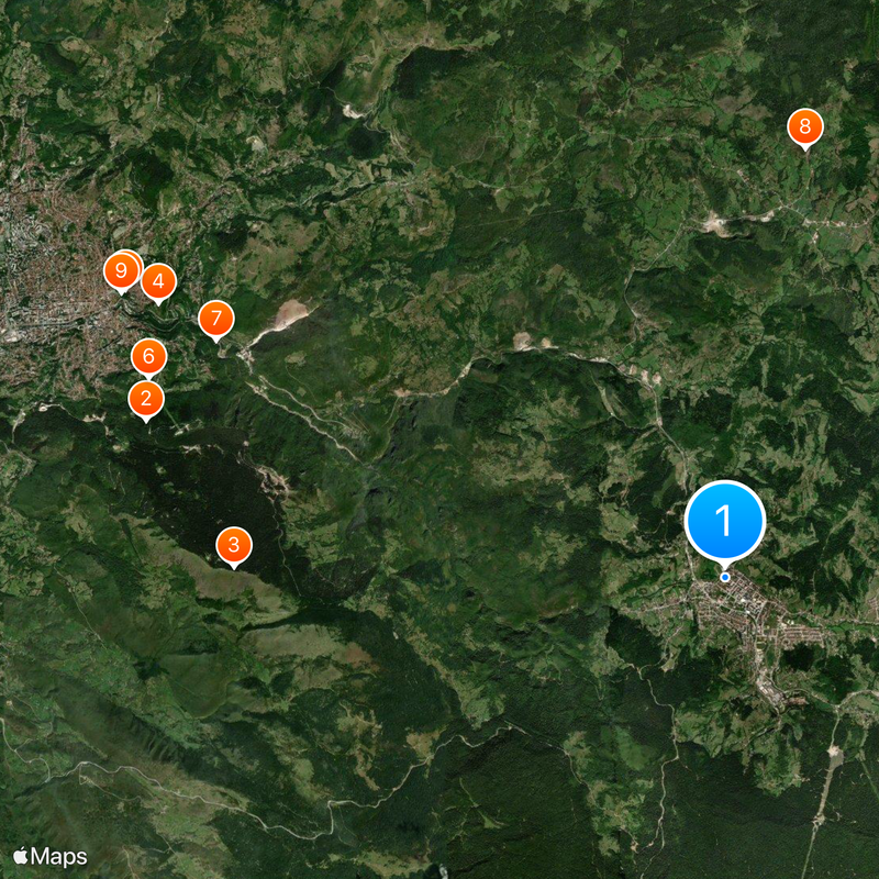
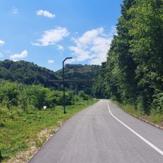
The locality is easiest to reach by car, as the roads wind through hilly terrain and public transport connections are limited. Those who come on foot or by bike will find the surrounding paths through fields and forest straightforward to follow.
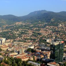
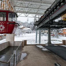
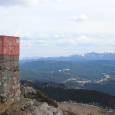
Pale sits at around 900 meters above sea level, making it one of the higher inhabited areas near Sarajevo. Because of this elevation, snow tends to stay on the ground here much longer than in the city below.
The community of curious travelers
AroundUs brings together thousands of curated places, local tips, and hidden gems, enriched daily by 60,000 contributors worldwide.