Enable Location

We need your location to show you interesting places around you

Discover nearby places

Find interesting locations and hidden gems around you

Precise directions

Get accurate directions and distances to places

Your location is never shared with other users. It's only used when you tap the location button.

Log in to your account

Start exploring — it's free

Trusted by 62,434 travelers worldwide

Continue with Google
Continue with Apple
or

We will send you a code to connect

By continuing, you accept our Terms and Conditions and our Privacy Policy

Check your inbox

We've sent a pincode in your inbox. Please enter the code below.

Banja Luka Region

Banja Luka Region, Administrative region in northern Bosnia and Herzegovina.

The Banja Luka Region is an administrative area in northwestern Bosnia and Herzegovina defined by valleys, rivers, and mountain terrain. The Vrbas River flows through its center, shaping the natural landscape and serving as a geographic anchor.

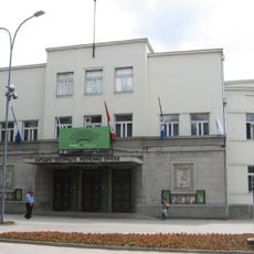
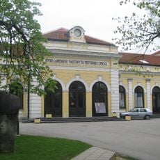
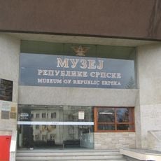
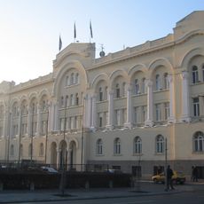
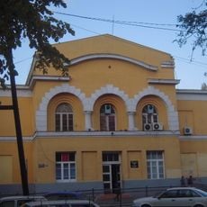
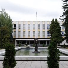
The area started as a Roman settlement and developed into a major administrative center under Ottoman rule. The Austro-Hungarian period brought further transformation and infrastructure development to the region.

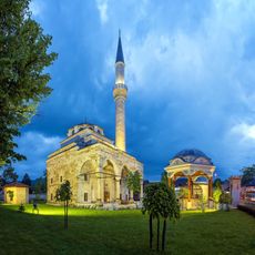
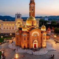
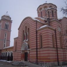
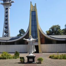
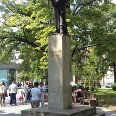
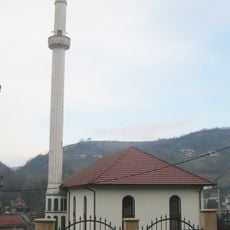
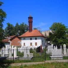
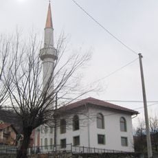
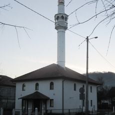
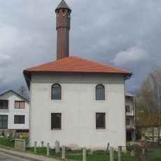
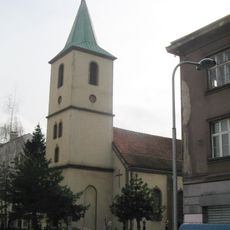
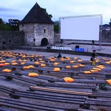
The region blends Orthodox Christian traditions with Roman architectural influences, visible in landmarks like the Temple of Christ the Saviour and Kastel Fortress. This layering of different cultural periods creates a distinct character in the built environment.

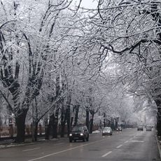
The region is connected through major road and railway networks linking Zagreb, Sarajevo, and other regional cities. Visitors typically navigate using these established routes when traveling between towns or exploring the wider area.

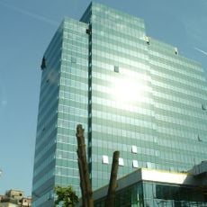
The region is known for natural thermal mineral springs that gave the main city its name and remain in use today. Beyond these, a diversified economy includes fruit processing and synthetic fiber production facilities.

The community of curious travelers

AroundUs brings together thousands of curated places, local tips, and hidden gems, enriched daily by 60,000 contributors worldwide.

Start exploring
Location
Capital city
Banja Luka
GPS coordinates
44.77420,17.19560
Latest update
December 13, 2025 17:05
Around this place
Ferhat Pasha Mosque
Bosnia and Herzegovina

Ferhat Pasha Mosque

998 m
Cathedral of Christ the Saviour
Bosnia and Herzegovina

Cathedral of Christ the Saviour

372 m
Gradski stadion
Bosnia and Herzegovina

Gradski stadion

380 m
Banski Dvor
Bosnia and Herzegovina

Banski Dvor

276 m
National Theater of the Republic of Srpska
Bosnia and Herzegovina

National Theater of the Republic of Srpska

185 m
Holy Trinity church
Bosnia and Herzegovina

Holy Trinity church

52 m
Administrative Center of the Government of Republika Srpska
Bosnia and Herzegovina

Administrative Center of the Government of Republika Srpska

473 m
National and University Library of the Republika Srpska
Bosnia and Herzegovina

National and University Library of the Republika Srpska

618 m
Museum of Modern Art of Republika Srpska
Bosnia and Herzegovina

Museum of Modern Art of Republika Srpska

512 m
Museum of Republika Srpska
Bosnia and Herzegovina

Museum of Republika Srpska

624 m
Cathedral of Saint Bonaventure
Bosnia and Herzegovina

Cathedral of Saint Bonaventure

108 m
Safikada's Tomb
Bosnia and Herzegovina

Safikada's Tomb

1 km
Petar Kočić statue in Banja Luka
Bosnia and Herzegovina

Petar Kočić statue in Banja Luka

679 m
Park Mladen Stojanović
Bosnia and Herzegovina

Park Mladen Stojanović

895 m
Jewish cultural center Arie Livne (Banja Luka)
Bosnia and Herzegovina

Jewish cultural center Arie Livne (Banja Luka)

770 m
Šeranić house
Bosnia and Herzegovina

Šeranić house

970 m
City palace
Bosnia and Herzegovina

City palace

432 m
Sokolski dom in Banja Luka
Bosnia and Herzegovina

Sokolski dom in Banja Luka

879 m
Mosquée de Sofi Mehmed-pacha
Bosnia and Herzegovina

Mosquée de Sofi Mehmed-pacha

970 m
Hacı Ömer Mosque, Banja Luka
Bosnia and Herzegovina

Hacı Ömer Mosque, Banja Luka

970 m
Mosquée de Hadži Begzad
Bosnia and Herzegovina

Mosquée de Hadži Begzad

970 m
Mosquée de Hadži Salih
Bosnia and Herzegovina

Mosquée de Hadži Salih

970 m
Mosquée de Hadži Osman-bey
Bosnia and Herzegovina

Mosquée de Hadži Osman-bey

970 m
Mosquée de Hadži Kurt
Bosnia and Herzegovina

Mosquée de Hadži Kurt

970 m
Église de la Visitation-de-la-Vierge-Marie de Banja Luka
Bosnia and Herzegovina

Église de la Visitation-de-la-Vierge-Marie de Banja Luka

970 m
Building of National Assembly of Republic of Srpska
Bosnia and Herzegovina

Building of National Assembly of Republic of Srpska

198 m
Ensemble des rues Mladena Stojanovića et Kralja Petra
Bosnia and Herzegovina

Ensemble des rues Mladena Stojanovića et Kralja Petra

420 m
Open-air theatre and cinema Kastel
Bosnia and Herzegovina

Open-air theatre and cinema Kastel

921 m
Show the full map
« Banja Luka Region - Administrative region in northern Bosnia and Herzegovina » is provided by Around Us (aroundus.com). Images and texts are derived from Wikimedia project under a Creative Commons license. You are allowed to copy, distribute, and modify copies of this page, under the conditions set by the license, as long as this note is clearly visible.

Discover hidden gems everywhere you go!

From secret cafés to breathtaking viewpoints, skip the crowded tourist spots and find places that match your style. Our app makes it easy with voice search, smart filtering, route optimization, and insider tips from travelers worldwide. Download now for the complete mobile experience.

Around Us App Screenshot

A unique approach to discovering new places

Le Figaro

All the places worth exploring

France Info

A tailor-made excursion in just a few clicks

20 Minutes

Around Us
Travel Guide & Maps
Download

Send to your phone

QR Code
1

Open the camera app on your mobile.

2

Point at the QR code with your camera. A notification will appear.

3

Tap the notification to open the link.