Chest opened
+${chestReward.xp} XP
Explorer
NOUVEAU ×${chestReward.collectible.quantity}
tapez pour fermer
Chest locked

Open chests in the app

Around Us is built for your phone — chests unlock when you walk, explore and capture nearby places.

Enable Location

We need your location to show you interesting places around you

Discover nearby places

Find interesting locations and hidden gems around you

Precise directions

Get accurate directions and distances to places

Your location is never shared with other users. It's only used when you tap the location button.

Bangladesh–Myanmar border

Log in to your account

Start exploring — it's free

Trusted by 72,984 travelers worldwide

Continue with Google
Continue with Apple
or

We will send you a code to connect

By continuing, you accept our Terms and Conditions and our Privacy Policy

Check your inbox

We've sent a pincode in your inbox. Please enter the code below.

Bangladesh–Myanmar border
Discussion Reviews 1 Photos
19.6k Popularity

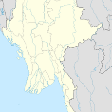
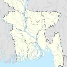
Bangladesh–Myanmar border, international border

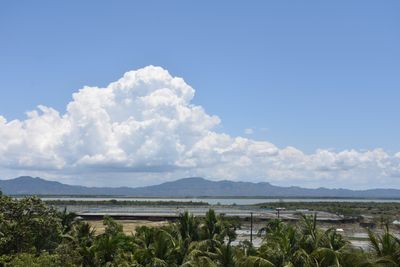
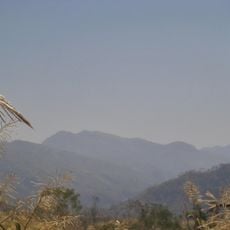
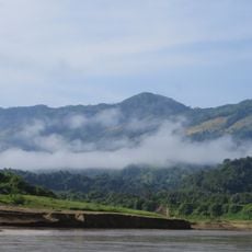
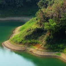
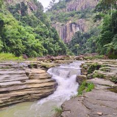
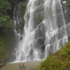
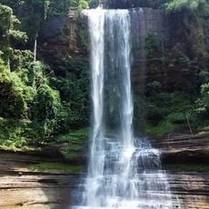
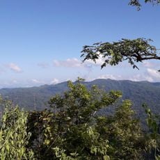
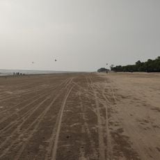
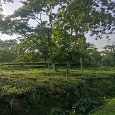
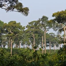
The Bangladesh-Myanmar border is a land boundary between two countries that extends across large areas and includes maritime zones in the Bay of Bengal. The line runs through forests, rivers, and remote areas, marked by simple crossing points with minimal formal infrastructure.

The boundary was established during British colonial rule when lines were drawn without consideration for the ethnic and cultural divisions of people living there. Over decades, this division has led to ongoing tensions and disputes between the two nations.

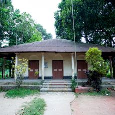
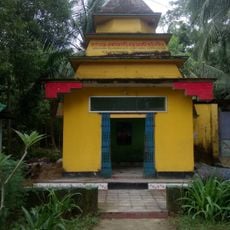
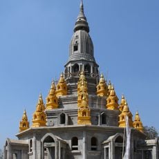
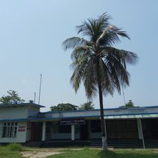
The boundary divides communities with different traditions and ways of living. Near the border, families remain connected across the line, and daily life reflects the relationships between people who share cultural ties but live on opposite sides.

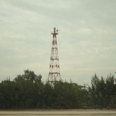
Border crossings are simple and follow informal practices of local communities with minimal formal infrastructure. The terrain of rivers, forests, and remote areas makes complete control difficult, so irregular crossings occur at various points.

The border region houses large populations of refugees, particularly Rohingya from Myanmar who have settled in Bangladesh, creating complex humanitarian situations. This presence shapes the character of villages near the boundary and makes the area a place where international humanitarian concerns meet local realities.

The community of curious travelers

AroundUs brings together thousands of curated places, local tips, and hidden gems, enriched daily by 60,000 contributors worldwide.

Start exploring
Part of
borders of Bangladesh, borders of Myanmar
GPS coordinates
21.97639,92.60833
Latest update
February 19, 2026 14:52
Reviews
Share your experience

No review yet

Discussions
Start a discussion...

No discussion yet

« Bangladesh–Myanmar border - international border » is provided by Around Us (aroundus.com). Images and texts are derived from Wikimedia project under a Creative Commons license. You are allowed to copy, distribute, and modify copies of this page, under the conditions set by the license, as long as this note is clearly visible.

Discover hidden gems everywhere you go!

From secret cafés to breathtaking viewpoints, skip the crowded tourist spots and find places that match your style. Our app makes it easy with voice search, smart filtering, route optimization, and insider tips from travelers worldwide. Download now for the complete mobile experience.

Around Us App Screenshot

A unique approach to discovering new places

Le Figaro

All the places worth exploring

France Info

A tailor-made excursion in just a few clicks

20 Minutes

Around Us
Travel Guide & Maps
Download

Send to your phone

QR Code
1

Open the camera app on your mobile.

2

Point at the QR code with your camera. A notification will appear.

3

Tap the notification to open the link.