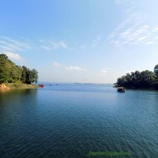
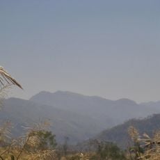
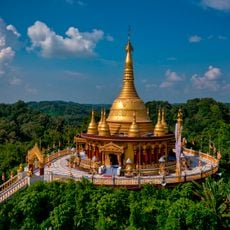
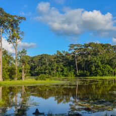
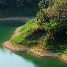
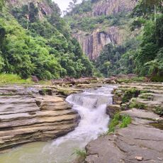
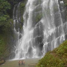
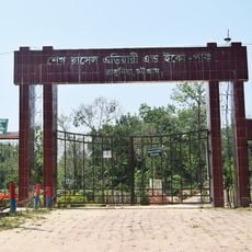
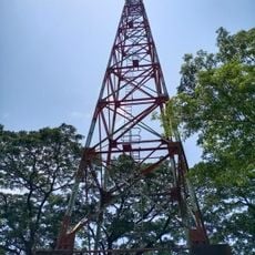
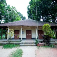
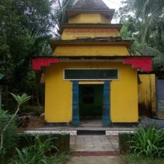
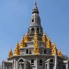
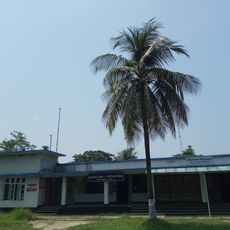
Keokradong, Mountain peak in Thanchi Upazila, Bangladesh.
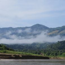
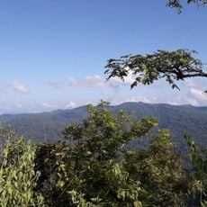
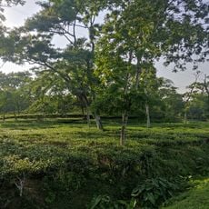
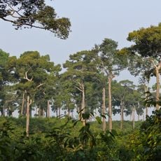
Keokradong is a mountain in the Thanchi Upazila area within the Chittagong Hill Tracts, rising to approximately 1000 meters above sea level. The terrain around the peak consists of dense forest and steep slopes that make hiking here a demanding physical challenge.
Keokradong was long regarded as the highest peak of the Chittagong Hill Tracts, and later of East Pakistan and Bangladesh. After the Chittagong Hill Tracts Peace Accord, a survey officially recognised Tazing Dong as the country's highest mountain and Keokradong as the second highest. The army plaque at the summit records 3,172 feet, while GPS readings give about 986 metres.
The name comes from Marma: keo means stone, kara means hill and dong means highest, so Keokradong is the highest stone hill. Marma communities live in the Palitai range near Thaikhyong Para, and trekkers pass their villages on the way to the summit.
The best time to visit is during the drier months when trails are less muddy and visibility improves. Bring sturdy footwear, plenty of water, and consider hiring a local guide, as paths through the forest can be hard to follow.
A signboard at the top, placed by the Bangladesh Army, gives the height as 967 metres, while handheld GPS readings show about 986 metres. The peak is often wrongly called Bangladesh's highest point; that is Saka Haphong, and officially Tazing Dong is recognised as the country's highest mountain.
The community of curious travelers
AroundUs brings together thousands of curated places, local tips, and hidden gems, enriched daily by 93,376 contributors worldwide.