
Senbagh Upazila, upazila in Chittagong Division, Bangladesh
Location: Noakhali District
Elevation above the sea: 10 m
Website: http://senbug.noakhali.gov.bd
Website: http://senbug.noakhali.gov.bd
GPS coordinates: 22.98330,91.23330
Latest update: June 7, 2025 08:49
Mainamati
50.3 km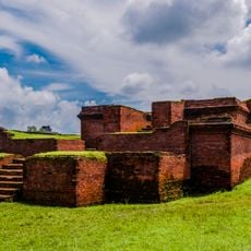
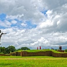
Shalban Vihara
50.3 km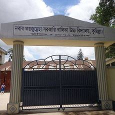
Nawab Faizunnesa Government Girls' High School
53.7 km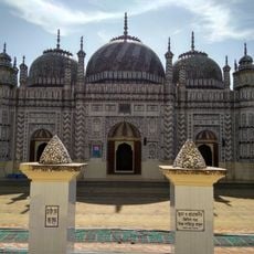
Bazra Shahi Jam-e-Masjid
14.8 km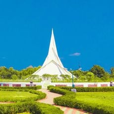
Bharat-Bangladesh Maitri Udyan
21 km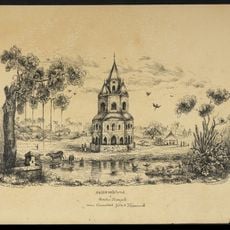
Comilla Jagannath Temple
53.4 km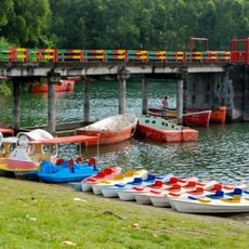
Mahamaya Chhara Irrigation Extension Project
39.4 km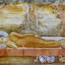
Anand Bihar
53 km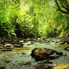
Hazarikhil Wildlife Sanctuary
50.2 km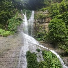
Napittachora Waterfalls
47.6 km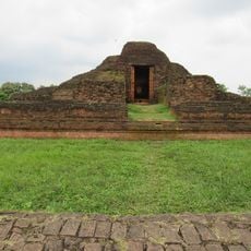
Rupban Mura
51.6 km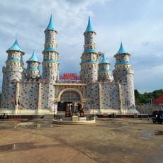
Magic Paradise Park
49.2 km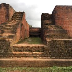
Itakhola Mura
51.9 km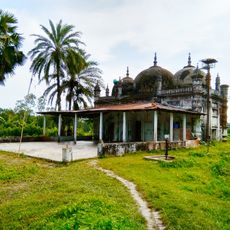
Ramjan Miah Jami Mosque
14.8 km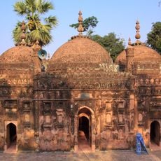
Chandgaji Bhuiyan Mosque
29.1 km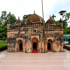
Bakhshi Hamid Mosque
29.7 km
Fort of Shamsher Gazi
34.3 km
Chandi Mura
42.5 km
Kazirbag Eco-Park
20.4 km
Sat Matha
28.6 km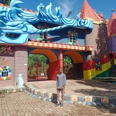
Blue Water Park
50 km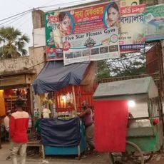
Chatarpaiya Bazaar
10.5 km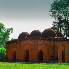
Sharshadi Shahi Mosque
13.1 km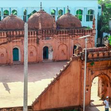
Mohammad Ali Chowdhury Mosque
13.9 km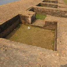
Lotikot Mura
51.8 km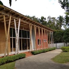
Fort of Shamsher Gazi, Mirsharai Upazila
34.7 km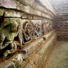
Syamsundar Tila
45.3 km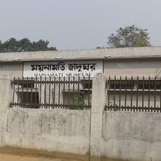
Mainamati Museum
50 kmReviews
Visited this place? Tap the stars to rate it and share your experience / photos with the community! Try now! You can cancel it anytime.
Discover hidden gems everywhere you go!
From secret cafés to breathtaking viewpoints, skip the crowded tourist spots and find places that match your style. Our app makes it easy with voice search, smart filtering, route optimization, and insider tips from travelers worldwide. Download now for the complete mobile experience.

A unique approach to discovering new places❞
— Le Figaro
All the places worth exploring❞
— France Info
A tailor-made excursion in just a few clicks❞
— 20 Minutes