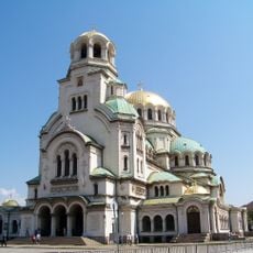
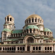
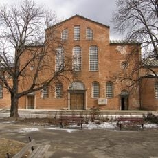
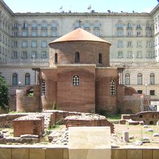
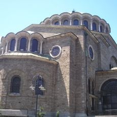
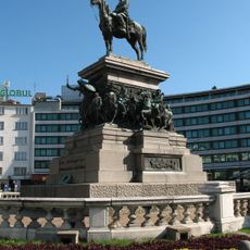
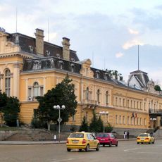
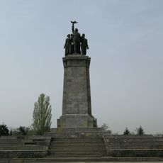
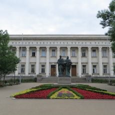
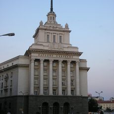
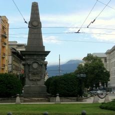
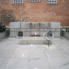
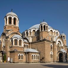
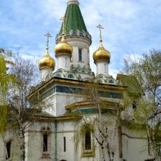
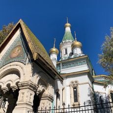
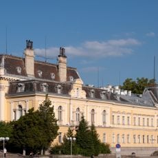
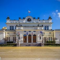
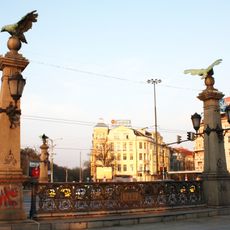
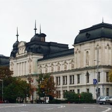
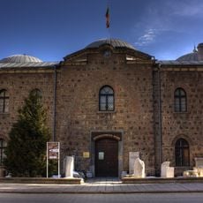
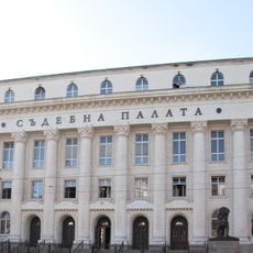
Sredets District, place in Sofia, Bulgaria
Location: Sofia Capital Municipality
Elevation above the sea: 554 m
Part of: Sofia Capital Municipality
Shares border with: Triaditsa District, Lozenets District, Slatina District, Izgrev, Vazrazhdane District, Oborishte District
GPS coordinates: 42.69167,23.34556
Latest update: March 3, 2025 18:51
Bulgarian Orthodox Church
1.1 km
Alexander Nevsky Cathedral
1.1 km
Saint Sophia Church
1.3 km
Ivan Vazov National Theatre
1.6 km
Saint George Rotunda Church
1.9 km
St Nedelya Church
2 km
Monument to the Tsar Liberator
1.1 km
Royal Palace
1.6 km
Monument to the Soviet Army
909 m
SS. Cyril and Methodius National Library
844 m
Party House
1.8 km
Monument to Vasil Levski
1 km
Monument to the Unknown Soldier
1.3 km
Seven Saints Church
1.5 km
Russian Church, Sofia
1.4 km
Amphitheatre of Serdica
1.5 km
National Art Gallery
1.6 km
Bulgaria National Assembly Building
1.1 km
St Nicholas the Miracle-Maker
1.4 km
Eagles' Bridge
671 m
National Gallery for Foreign Art
1 km
National Opera and Ballet
1.4 km
National Archaeological Institute with Museum
1.8 km
Sofia Court House
2.1 km
National Museum of Natural History
1.5 km
Battenberg Mausoleum
1.1 km
Strawberry House
642 m
Saint Petka the Old Church
2 kmReviews
Visited this place? Tap the stars to rate it and share your experience / photos with the community! Try now! You can cancel it anytime.
Discover hidden gems everywhere you go!
From secret cafés to breathtaking viewpoints, skip the crowded tourist spots and find places that match your style. Our app makes it easy with voice search, smart filtering, route optimization, and insider tips from travelers worldwide. Download now for the complete mobile experience.
A unique approach to discovering new places❞
— Le Figaro
All the places worth exploring❞
— France Info
A tailor-made excursion in just a few clicks❞
— 20 Minutes