Lévis

Log in to your account

AroundUs is a community-driven map of interesting places, built by curious explorers like you. It grows with every review, story, and photo you share.
Connect to save your favorite spots, contribute locations, and create personalized routes.
Continue with Google
Continue with Apple
Continue with X
Continue with Facebook
Continue with email
By continuing, you accept our Terms and Conditions and our Privacy Policy
Create an account
Add to collection
Map
Suggest a change
Share

Lévis, Administrative division across St. Lawrence River from Quebec City, Canada

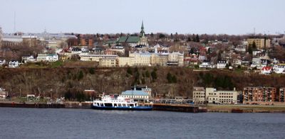
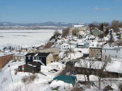
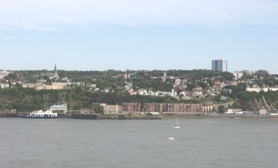
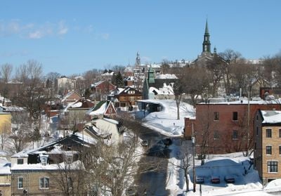
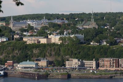
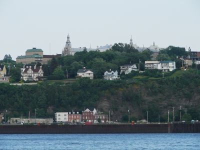
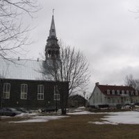
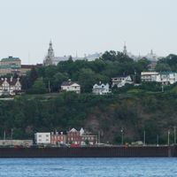
Lévis is a city on the south bank of the St. Lawrence River, formed from the merger of several municipalities and now containing residential districts, commercial areas, and diverse neighborhoods. The town stretches along the riverbank and faces Quebec City across the water.

The area underwent reorganization in 2002 when several smaller municipalities were brought together to form a single city, creating a larger administrative unit. This consolidation reshaped local governance and increased the region's overall presence.

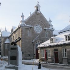
French is the everyday language throughout Lévis, and you will hear it spoken everywhere as people go about their day. This linguistic identity shapes community events, local traditions, and how neighborhoods connect with one another.

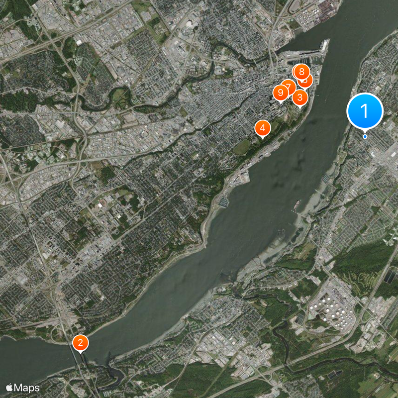
A regular ferry system connects Lévis to Quebec City, allowing visitors to travel easily between the two shores year-round. The crossing offers views of the river and lets you experience both communities without needing a car.

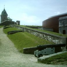
Three military forts built between 1865 and 1872 sit on the hills above the city and date to a time when Canada needed defense against potential American invasion. These structures remain visible reminders of a bygone era of international tensions.

Location: Chaudière-Appalaches

Inception: May 18, 1861

Founders: Joseph-David Déziel

Reference: 25213

Part of: Communauté métropolitaine de Québec

Shares border with: Quebec City, St. Lawrence River, Saint-Gilles, Saint-Henri, Saint-Lambert-de-Lauzon, La Nouvelle-Beauce, Lotbinière, Bellechasse

Website: https://ville.levis.qc.ca

GPS coordinates: 46.80000,-71.18330

Latest update: December 14, 2025 19:10

Photos
Reviews

Visited this place? Tap the stars to rate it and share your experience / photos with the community! Try now! You can cancel it anytime.

« Lévis - Administrative division across St. Lawrence River from Quebec City, Canada » is provided by Around Us (aroundus.com). Images and texts are derived from Wikimedia project under a Creative Commons license. You are allowed to copy, distribute, and modify copies of this page, under the conditions set by the license, as long as this note is clearly visible.

Discover hidden gems everywhere you go!

From secret cafés to breathtaking viewpoints, skip the crowded tourist spots and find places that match your style. Our app makes it easy with voice search, smart filtering, route optimization, and insider tips from travelers worldwide. Download now for the complete mobile experience.

Around Us App Screenshot

A unique approach to discovering new places

Le Figaro

All the places worth exploring

France Info

A tailor-made excursion in just a few clicks

20 Minutes