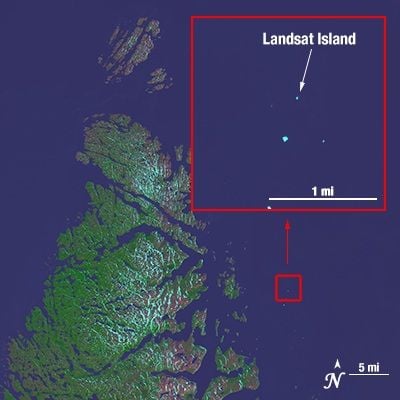
Landsat Island, Rocky islet off the Labrador coast, Canada
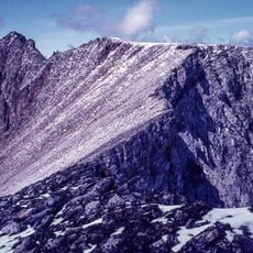
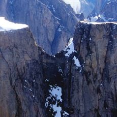
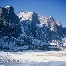
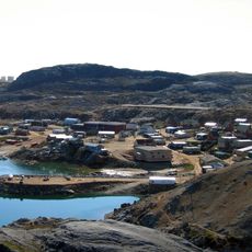
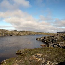
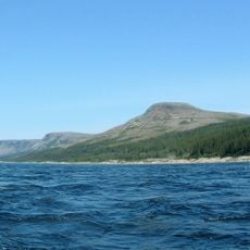
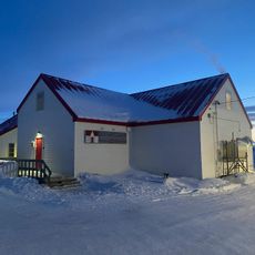
Landsat Island is a rocky islet off the northeastern coast of Labrador, located about 20 kilometers from shore. The small rock formation remains partially submerged during high tides and becomes more visible at low water.
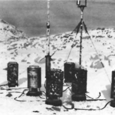
The islet was discovered in 1973 by Betty Fleming using Landsat 1 satellite imagery, making it the first geographical feature identified through satellite technology in Canada. This discovery changed how new territories could be recognized and mapped.
The islet plays a role in scientific research programs that use satellite imagery and environmental monitoring across Canadian maritime waters.
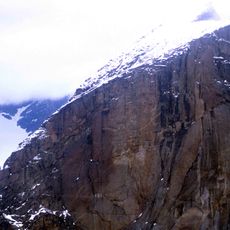
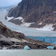
The location requires specialized equipment and official permits to visit, as it faces harsh weather year-round. Strong winds and frequent storms make travel in this region challenging and unpredictable.
The discovery of this tiny islet led to an expansion of Canadian maritime territory by a significant area, showing the power of satellite mapping. This was a rare example of how modern remote sensing could redefine a nation's borders.
The community of curious travelers
AroundUs brings together thousands of curated places, local tips, and hidden gems, enriched daily by 60,000 contributors worldwide.