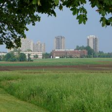
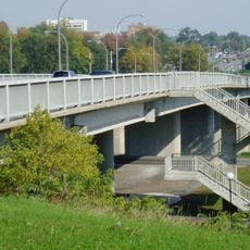
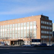
Confederation Heights, human settlement in Ottawa, Ontario, Canada
Location: Ottawa
Shares border with: Courtland Park
GPS coordinates: 45.37780,-75.68750
Latest update: March 6, 2025 17:11
Central Experimental Farm
2.1 km
Hog's Back Falls
1 km
Heron Road Bridge
1 km
Mooney's Bay Park
1.1 km
Dow's Lake
2.2 km
Billings Estate Museum
1.8 km
Edward Drake Building
56 m
Billings Bridge
1.5 km
Mayfair Theatre
1.9 km
Sir Leonard Tilley Building
81 m
MNP Park
1.3 km
Sir Charles Tupper Building
516 m
Vincent Massey Park
667 m
Bank Street Bridge
2.1 km
Hog's Back Bridge
1.3 km
Brown's Inlet
2.2 km
Shevchenko Monument
1.2 km
George Dunbar Bridge
597 m
Pauline Vanier Park
1.5 km
Billings House
1.8 km
Cereal Barn
2 km
Booth Barn Complex
2.2 km
Carpenter's Shop
2.3 km
Hay House
2.2 km
Hog's Back Park
808 m
Monastère du Précieux Sang
2 km
Ottawa South Community Centre
1.9 km
149 Hopewell Avenue
1.5 kmReviews
Visited this place? Tap the stars to rate it and share your experience / photos with the community! Try now! You can cancel it anytime.
Discover hidden gems everywhere you go!
From secret cafés to breathtaking viewpoints, skip the crowded tourist spots and find places that match your style. Our app makes it easy with voice search, smart filtering, route optimization, and insider tips from travelers worldwide. Download now for the complete mobile experience.
A unique approach to discovering new places❞
— Le Figaro
All the places worth exploring❞
— France Info
A tailor-made excursion in just a few clicks❞
— 20 Minutes