Chest opened
+${chestReward.xp} XP
Explorer
NOUVEAU ×${chestReward.collectible.quantity}
tapez pour fermer
Chest locked

Open chests in the app

Around Us is built for your phone — chests unlock when you walk, explore and capture nearby places.

Enable Location

We need your location to show you interesting places around you

Discover nearby places

Find interesting locations and hidden gems around you

Precise directions

Get accurate directions and distances to places

Your location is never shared with other users. It's only used when you tap the location button.

Log in to your account

Start exploring — it's free

Trusted by 72,881 travelers worldwide

Continue with Google
Continue with Apple
or

We will send you a code to connect

By continuing, you accept our Terms and Conditions and our Privacy Policy

Check your inbox

We've sent a pincode in your inbox. Please enter the code below.

Mantario Trail
Discussion Reviews Photo
4.1k Popularity

Mantario Trail, Wilderness hiking trail in Whiteshell Provincial Park and Ontario, Canada

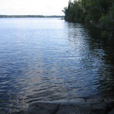
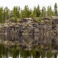
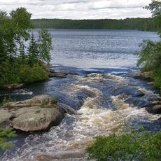
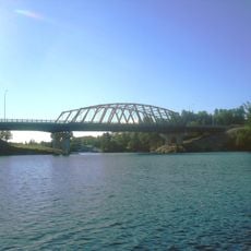
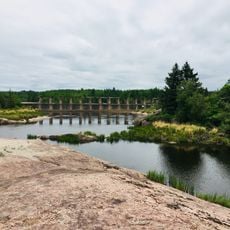
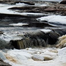
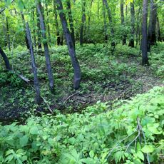
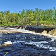
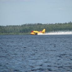
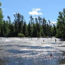
The Mantario Trail is a wilderness hiking route spanning approximately 63 kilometers through granite ridges, remote lakes, and boreal forest. The path crosses rocky terrain with elevation changes and passes through multiple waterways that shape the landscape.

The trail was established in the early 1970s through collaboration between the Manitoba Naturalists Society and the Manitoba Parks Branch. This effort created a formal hiking route through the Canadian Shield landscape.

The annual Mantario Marathon takes place in October, with participants completing the trail over two days while camping outdoors during the journey.

Hikers should bring detailed maps, bear spray, and supplies for several days since the route passes through remote terrain. Most people need three to four days to complete the full distance and must carry adequate water and emergency equipment.

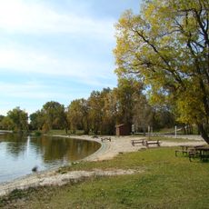
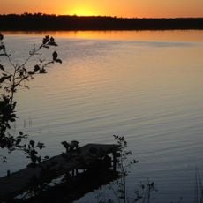
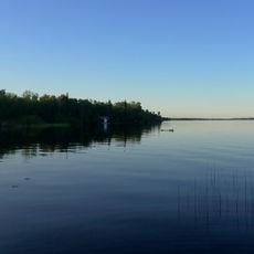
Ten designated camping areas sit near lakes and feature bear-resistant storage boxes at each location. These waters are home to pike and trout that swim in clear conditions.

The community of curious travelers

AroundUs brings together thousands of curated places, local tips, and hidden gems, enriched daily by 60,000 contributors worldwide.

Start exploring
Location
GPS coordinates
49.98500,-95.15400
Latest update
December 11, 2025 11:08
Reviews
Share your experience

No review yet

Discussions
Start a discussion...

No discussion yet

« Mantario Trail - Wilderness hiking trail in Whiteshell Provincial Park and Ontario, Canada » is provided by Around Us (aroundus.com). Images and texts are derived from Wikimedia project under a Creative Commons license. You are allowed to copy, distribute, and modify copies of this page, under the conditions set by the license, as long as this note is clearly visible.

Discover hidden gems everywhere you go!

From secret cafés to breathtaking viewpoints, skip the crowded tourist spots and find places that match your style. Our app makes it easy with voice search, smart filtering, route optimization, and insider tips from travelers worldwide. Download now for the complete mobile experience.

Around Us App Screenshot

A unique approach to discovering new places

Le Figaro

All the places worth exploring

France Info

A tailor-made excursion in just a few clicks

20 Minutes

Around Us
Travel Guide & Maps
Download

Send to your phone

QR Code
1

Open the camera app on your mobile.

2

Point at the QR code with your camera. A notification will appear.

3

Tap the notification to open the link.