Paudash Lake, Glacial lake in Haliburton County, Canada
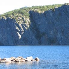
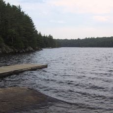
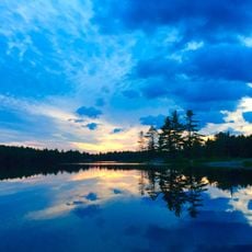
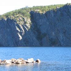
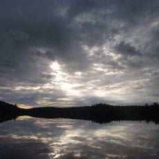
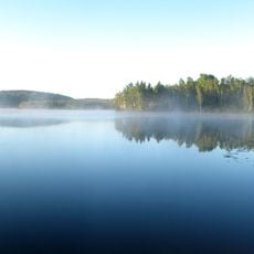
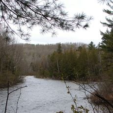
Paudash Lake is a lake in south central Ontario, 27 km south of Algonquin Provincial Park, made up of two connected lakes, Paudash and Lower Paudash, on the headwaters of the Crowe River. It covers 7.5 km², reaches 46 m deep, and has four sections: Lower Paudash (Outlet Bay), North Bay, Joe Bay and Inlet Bay. North Bay's shoreline features massive pink granite cliffs rising hundreds of feet, and most of the shore is lined with trees.
The lake takes its name from Chief George Paudash of the Ojibwa nation, who transferred the surrounding lands to the Crown in 1818. This transaction marked a turning point in European settlement of the region.
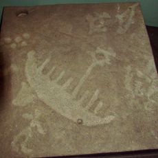
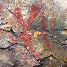
Paudash Lake takes its name from Chief George Paudash, a Crane-doodem member of the Chippewa (Ojibwa) of the Hiawatha Reserve at Rice Lake. His mark on Treaty No. 20 of 5 November 1818, which conveyed southern Muskoka and southern Haliburton to the Crown, was a small drawing of a crane. Pioneer families settled the shore in the early 1870s, and the McGillivray family remains part of the lake community.
Paudash Lake lies along Highway 28, 27 km south of Algonquin Provincial Park's panhandle, with Cardiff near Inlet Bay and the hamlet of Paudash northeast of Lower Paudash Lake. The lake is usually frozen from mid-December to the third week in April. Fifteen percent of the shoreline is permanent Crown land, and one large island is also undeveloped.
In winter the lake transforms into an outdoor destination for ice fishing and other activities on its frozen surface. Nearby Silent Lake Provincial Park offers ski trails for winter sports enthusiasts.
The community of curious travelers
AroundUs brings together thousands of curated places, local tips, and hidden gems, enriched daily by 92,875 contributors worldwide.