Talon Chute, Waterfall in northeastern Ontario, Canada
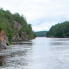
Talon Chute is a waterfall where the Mattawa River flows over rock formations at the southeastern end of Lake Talon in Nipissing District. The water drops over the ledge to continue its journey downstream, creating a distinct natural feature along the river corridor.
The site sits along a water route that has connected travelers and traders through northern Ontario for centuries. Mining activity for brucite marble occurred near the chute in earlier times, marking a period when resource extraction influenced human presence in the area.
The Mattawa River corridor has served as a travel route for hundreds of years, and this heritage remains visible in how people approach and experience the waterfall today. Visitors sense the historical importance of water-based movement through the landscape when they arrive via the river.
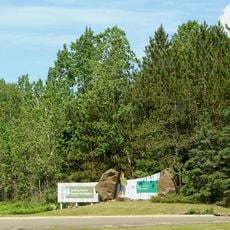
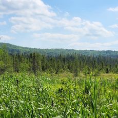
Getting to the waterfall requires either paddling along the river or walking on paths, both of which demand basic preparation and sense of direction. Plan to spend extra time traveling since the nearest known access point is several kilometers away.
A control dam at the site regulates water flow between the lake and river, meaning the waterfall's appearance and power shift with different seasons and water management decisions. This hidden infrastructure shapes what you see more than natural forces alone might suggest.
The community of curious travelers
AroundUs brings together thousands of curated places, local tips, and hidden gems, enriched daily by 60,000 contributors worldwide.