Twin Peaks, Mountain peaks in Vancouver Island Ranges, British Columbia, Canada
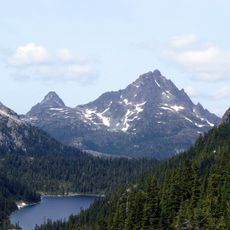
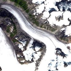
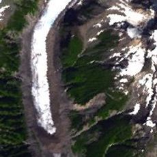
Twin Peaks is a mountain formation in the Vancouver Island Ranges featuring two distinct summits that rise approximately 1200 meters above sea level. The peaks are composed of andesite, a volcanic rock that gives them their characteristic appearance in the landscape southwest of Port McNeill.
The mountains formed roughly 3 million years ago through volcanic activity in the Alert Bay Volcanic Belt during the Pliocene period. This ancient geological event shaped the volcanic landscape that remains visible on Vancouver Island today.
The twin formation serves as a recognizable landmark in the local landscape, helping people orient themselves in the region. Residents and visitors use it as a visual reference point when moving through the area.
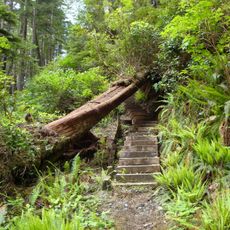
The peaks are accessible via local trails approximately 14 kilometers southwest of Port McNeill and visible from multiple viewpoints in the area. The best viewing spots allow you to see both summits clearly and appreciate their distinctive silhouette against the landscape.
The twin peaks display a topographic prominence of over 380 meters, giving them a distinct silhouette that stands out against the surrounding landscape. This geographical feature makes them an unmistakable landmark that rises clearly above neighboring mountains.
The community of curious travelers
AroundUs brings together thousands of curated places, local tips, and hidden gems, enriched daily by 60,000 contributors worldwide.