Chest opened
+${chestReward.xp} XP
Explorer
NOUVEAU ×${chestReward.collectible.quantity}
tapez pour fermer
Chest locked

Open chests in the app

Around Us is built for your phone — chests unlock when you walk, explore and capture nearby places.

Enable Location

We need your location to show you interesting places around you

Discover nearby places

Find interesting locations and hidden gems around you

Precise directions

Get accurate directions and distances to places

Your location is never shared with other users. It's only used when you tap the location button.

Lake Sils

Log in to your account

Start exploring — it's free

Trusted by 74,662 travelers worldwide

Continue with Google
Continue with Apple
or

We will send you a code to connect

By continuing, you accept our Terms and Conditions and our Privacy Policy

Check your inbox

We've sent a pincode in your inbox. Please enter the code below.

Lake Sils
Discussion Reviews 1 Photos
9.7k Popularity

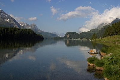
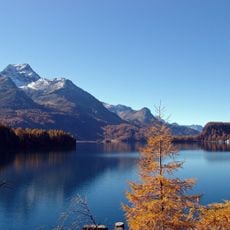
Lake Sils, Alpine lake in Upper Engadine valley, Switzerland.

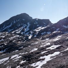
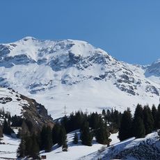
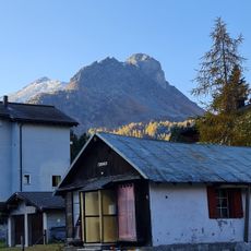
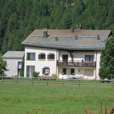
Lake Sils is a high-altitude lake in the Upper Engadine, in the Swiss canton of Grisons, sitting at around 5,900 feet (1,800 m) above sea level. The water is fed by glacial sources, runs deep and cold, and the shores alternate between flat meadow sections and rocky slopes.

A large prehistoric rockslide deposited debris across the valley floor and blocked the natural drainage, forming the lake. That single geological event shaped the wider Upper Engadine valley in a way that is still visible today.

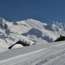
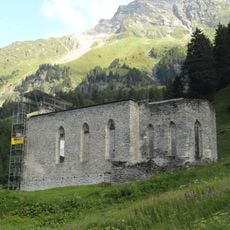
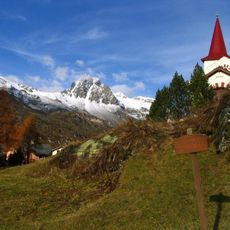
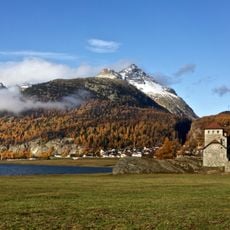
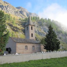
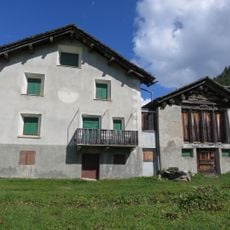
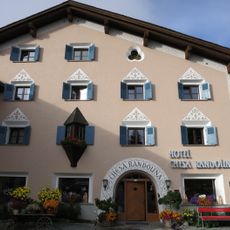
The lake sits between the village of Sils Maria and the Maloja Pass, an area that has drawn painters, writers, and musicians since the 19th century. Many visitors today come simply to walk the shore and watch the light shift across the water at different times of day.

Marked trails run around the shore and connect the village of Sils Maria with the Maloja side, so the lake can be explored from several angles. Weather at this altitude can shift quickly, so layered clothing is worth having even in summer.

The peninsula of Chasté juts into the lake and is almost entirely covered by forest, offering one of the few points where water can be seen on three sides at once. It is reachable on foot and tends to be quieter than the main shoreline paths most visitors follow.

The community of curious travelers

AroundUs brings together thousands of curated places, local tips, and hidden gems, enriched daily by 60,000 contributors worldwide.

Start exploring
Location
Elevation above the sea
1,795 m
GPS coordinates
46.41667,9.73333
Latest update
March 3, 2026 10:12
Reviews
Share your experience

No review yet

Discussions
Start a discussion...

No discussion yet

« Lake Sils - Alpine lake in Upper Engadine valley, Switzerland » is provided by Around Us (aroundus.com). Images and texts are derived from Wikimedia project under a Creative Commons license. You are allowed to copy, distribute, and modify copies of this page, under the conditions set by the license, as long as this note is clearly visible.

Discover hidden gems everywhere you go!

From secret cafés to breathtaking viewpoints, skip the crowded tourist spots and find places that match your style. Our app makes it easy with voice search, smart filtering, route optimization, and insider tips from travelers worldwide. Download now for the complete mobile experience.

Around Us App Screenshot

A unique approach to discovering new places

Le Figaro

All the places worth exploring

France Info

A tailor-made excursion in just a few clicks

20 Minutes

Around Us
Travel Guide & Maps
Download

Send to your phone

QR Code
1

Open the camera app on your mobile.

2

Point at the QR code with your camera. A notification will appear.

3

Tap the notification to open the link.