
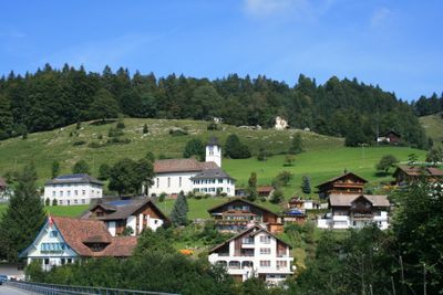
Innerthal, municipality in the canton of Schwyz in Switzerland
Location: March District
Elevation above the sea: 915 m
Shares border with: Einsiedeln, Glarus Nord, Muotathal, Näfels, Schübelbach, Unteriberg, Vorderthal, Glarus
Website: https://innerthal.ch
GPS coordinates: 47.10500,8.91861
Latest update: April 5, 2025 00:57

Klöntalersee
10 km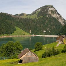
Wägitalersee
1.7 km
Silberen
12.6 km
Gross Aubrig
2.9 km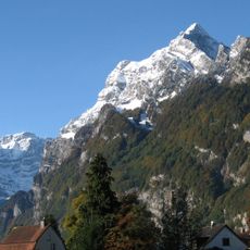
Rautispitz
9.1 km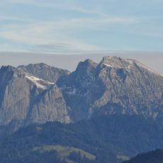
Bockmattli
3.1 km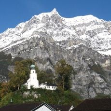
Wiggis
9.2 km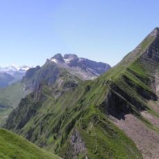
Zindlenspitz
4.5 km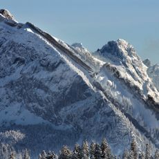
Chöpfenberg
4.1 km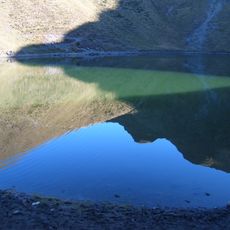
Sihlseeli
10.4 km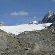
Glarnisch Glacier
12.7 km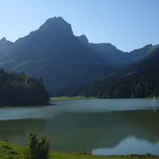
Brünnelistock
4.7 km
Wägital Blockhouse
4.1 km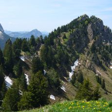
Planggenstock
6.5 km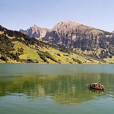
Schiberg
3 km
Wageten
6.4 km
Schijen
7.5 km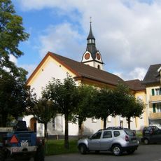
Pfarrkirche St. Josef
10.3 km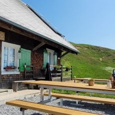
Wildegg
4.4 km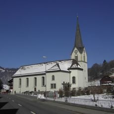
Peter and Paul parish church
2.4 km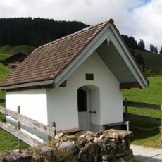
St. Ottilien chapel
9.5 km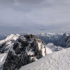
Redertenstock
6.6 km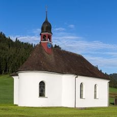
Pfarrkirche Studen
7.3 km
St. Katharina
145 m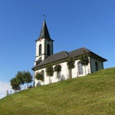
Kapelle Hirsch
10.2 km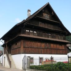
Hof house
2.5 km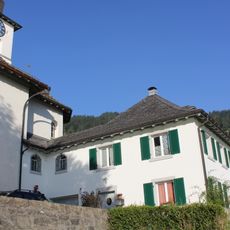
Rectory
129 m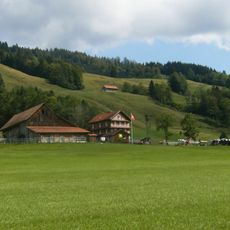
Sihltal House
6.7 kmVisited this place? Tap the stars to rate it and share your experience / photos with the community! Try now! You can cancel it anytime.
Discover hidden gems everywhere you go!
From secret cafés to breathtaking viewpoints, skip the crowded tourist spots and find places that match your style. Our app makes it easy with voice search, smart filtering, route optimization, and insider tips from travelers worldwide. Download now for the complete mobile experience.

A unique approach to discovering new places❞
— Le Figaro
All the places worth exploring❞
— France Info
A tailor-made excursion in just a few clicks❞
— 20 Minutes