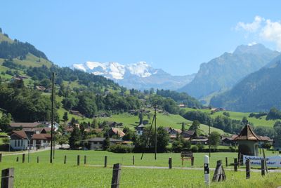
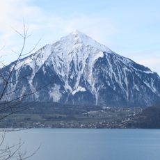
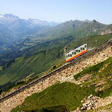
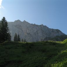
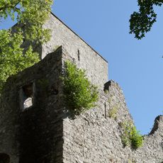
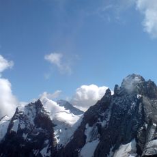
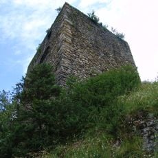
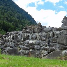
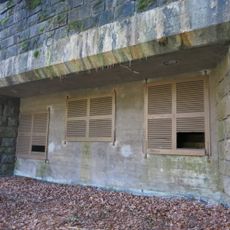
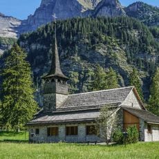
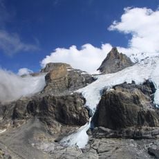
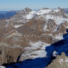
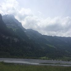
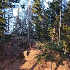
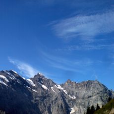
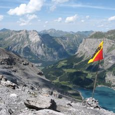
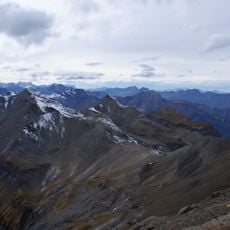
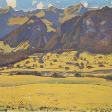
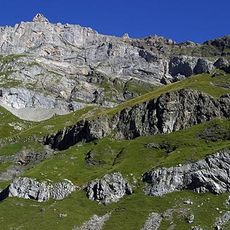
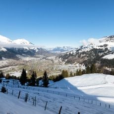
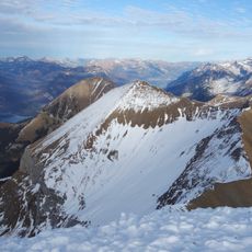
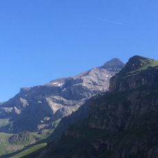
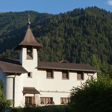
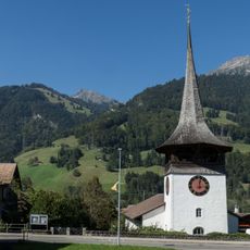
Reichenbach im Kandertal, municipality in the canton of Bern in Switzerland
Location: Frutigen-Niedersimmental administrative district
Elevation above the sea: 700 m
Shares border with: Aeschi bei Spiez, Diemtigen, Frutigen, Kandersteg, Lauterbrunnen, Wimmis
Website: https://reichenbach.ch
GPS coordinates: 46.57532,7.73708
Latest update: March 3, 2025 01:39
Niesen
10.2 km
Niesenbahn
8 km
Tropenhaus Frutigen
6.5 km
Morgenberghorn
6.8 km
Tellenburg castle ruin
6.5 km
Gspaltenhorn
9.9 km
Felsenburg
6.9 km
Ruin Mülenen castle and Letzi
7.8 km
Mulenen roadblock
7.9 km
Church of Mary
9.9 km
Wildi Frau
8.4 km
Schwalmere
6.4 km
Ärmighorn
4.2 km
Aris ob Kien Castle
4.9 km
Gehrihorn
3.5 km
Bütlasse
9 km
First
10.7 km
Hundshorn
6.4 km
Fromberghorn
10.4 km
Dündenhorn
6.2 km
Elsighorn
8.7 km
Latrejespitz
3.3 km
Niesen
10.1 km
Zahm Andrist
4.6 km
St. Mauritius
7.1 km
Kandersteg
10.2 km
Golderli
3.5 km
Reformed church
6.5 kmVisited this place? Tap the stars to rate it and share your experience / photos with the community! Try now! You can cancel it anytime.
Discover hidden gems everywhere you go!
From secret cafés to breathtaking viewpoints, skip the crowded tourist spots and find places that match your style. Our app makes it easy with voice search, smart filtering, route optimization, and insider tips from travelers worldwide. Download now for the complete mobile experience.
A unique approach to discovering new places❞
— Le Figaro
All the places worth exploring❞
— France Info
A tailor-made excursion in just a few clicks❞
— 20 Minutes