
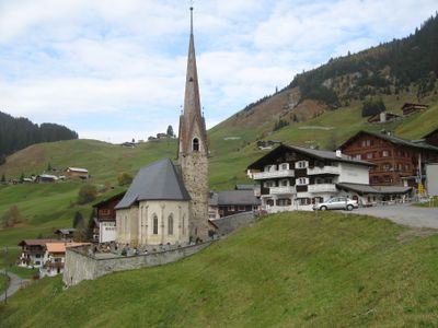
St. Antönien, former municipality and current district of Luzein in the canton of the Grisons, Switzerland
Location: Luzein
Location: Prättigau/Davos Region
Elevation above the sea: 1,459 m
Shares border with: Küblis, Saas im Prättigau, Luzein
Website: http://st-antoenien.ch
GPS coordinates: 46.96639,9.81667
Latest update: March 31, 2025 21:42
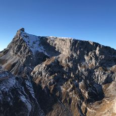
Sulzfluh
5.4 km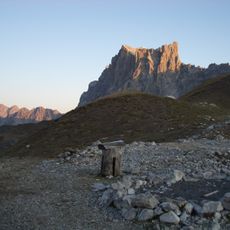
Drusenfluh
7.1 km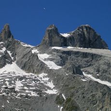
Drei Türme
6.5 km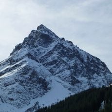
Madrisa
6.3 km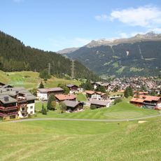
Madrisahorn
5.8 km
Küblis Kraftwerkzentrale
6.4 km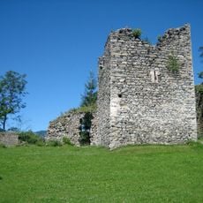
Castels Castle
7.2 km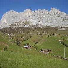
Schijenflue
6.2 km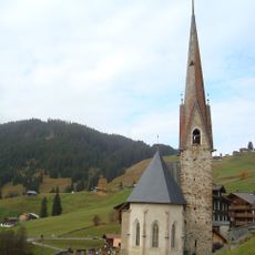
Reformierte Kirche St. Antönien
398 m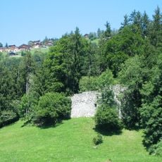
Burg Kapfenstein
5.9 km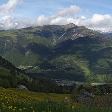
Chrüz
3.4 km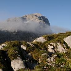
Wiss Platte
6.3 km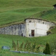
Sperre Gadenstätt-Stelserberg
3.1 km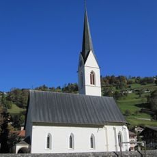
Reformierte Kirche Küblis
6.5 km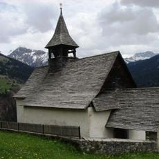
Reformierte Kirche Schuders
6.6 km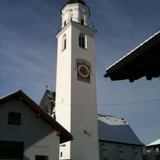
Evangelical church
6.2 km
Schijenzan
6 km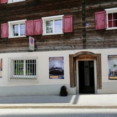
Ortsmuseum St. Antönien
431 m
Schollberg
3.8 km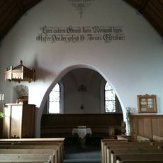
Reformierte Kirche Pany
5.5 km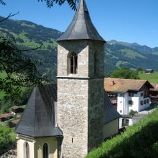
Reformierte Kirche Luzein
6.4 km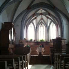
Reformierte Kirche Conters
7.2 km
Obwaldhütte
7 km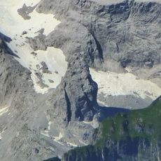
Sporaturm
6.8 km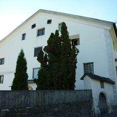
Grosshus
6.4 km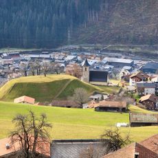
Burgstelle Stadion
6.4 km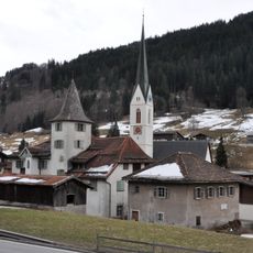
Schlössli
6.5 km
Alp Gargella
6.7 kmVisited this place? Tap the stars to rate it and share your experience / photos with the community! Try now! You can cancel it anytime.
Discover hidden gems everywhere you go!
From secret cafés to breathtaking viewpoints, skip the crowded tourist spots and find places that match your style. Our app makes it easy with voice search, smart filtering, route optimization, and insider tips from travelers worldwide. Download now for the complete mobile experience.

A unique approach to discovering new places❞
— Le Figaro
All the places worth exploring❞
— France Info
A tailor-made excursion in just a few clicks❞
— 20 Minutes