Oeschinenhorn, Mountain summit in Bernese Alps, Switzerland
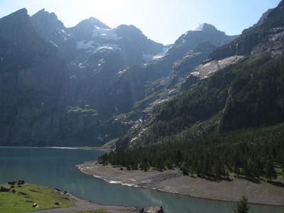
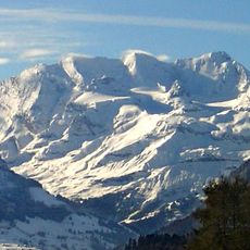
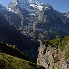
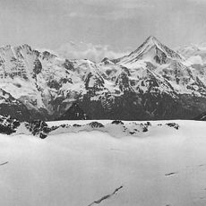
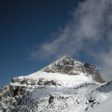
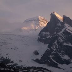
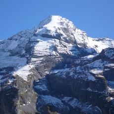
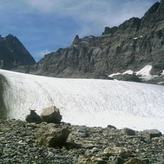
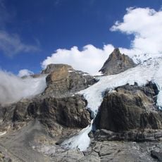
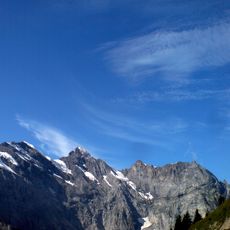
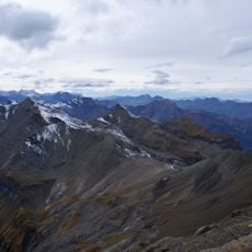
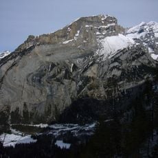
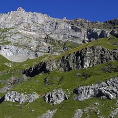
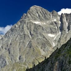
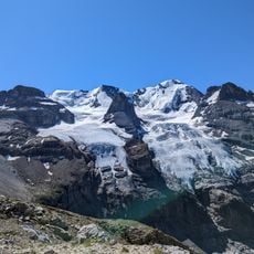
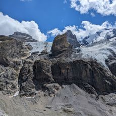
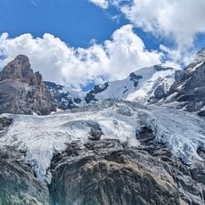
The Oeschinenhorn is a peak in the Bernese Alps standing at about 3,500 meters and forming the western end of the Blüemlisalp ridge. Steep rock faces dominate the structure, with ice and snow covering the western slopes to create an exposed and rugged terrain.
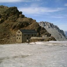
This peak was first explored by mountaineers in the 19th century as part of the broader discovery of the Blüemlisalp massif. The construction of the Fründenhütte mountain shelter established a key stopping point that helped make ascents more feasible for later climbers.
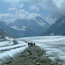
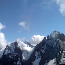
The mountain draws climbers from across the Alps seeking to challenge themselves on traditional routes through high-altitude terrain. This gathering place has earned respect among mountaineers for its demanding approaches and the skills required to reach the top.
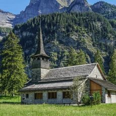
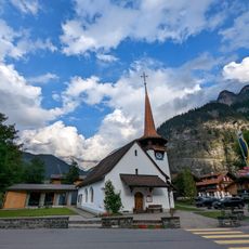
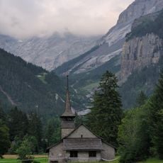
The approach starts from the village of Kandersteg in the valley, where hikers can reach the trailhead on foot or by cable car. The climb demands rock climbing skills and good weather, so going with a local mountain guide or experienced group is strongly advised.
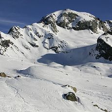
The mountain holds a small permanent glacier that remains visible even in summer and occasionally allows ski touring on its slopes. These icy patches give the slope a distinctive appearance and reveal how conditions vary across the high reaches of this massif.
The community of curious travelers
AroundUs brings together thousands of curated places, local tips, and hidden gems, enriched daily by 60,000 contributors worldwide.