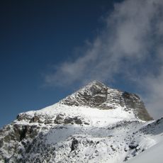
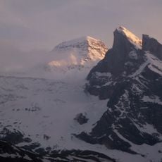
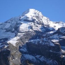
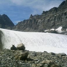
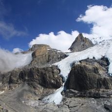
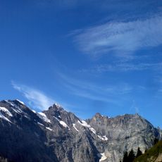
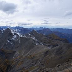
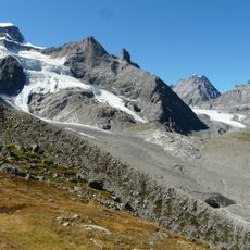
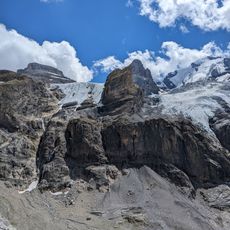
Kander Glacier, Glacier in Bernese Alps, Switzerland
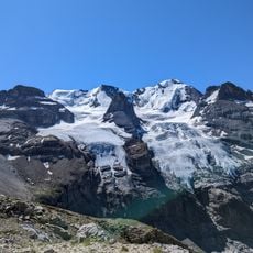
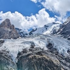
The Kander Glacier (Kanderfirn) is a valley glacier at the head of the Gasterental in the Bernese Alps, in the municipality of Kandersteg. It begins on the west flank of the Tschingelhorn and on the Petersgrat, which carries the border between Bern and Valais, and flows southwest at a gradient of about 10%. Its lowest section is called the Alpetligletscher; the tongue ended at 2300 m in 2010, above a steep drop into the Gasterental.
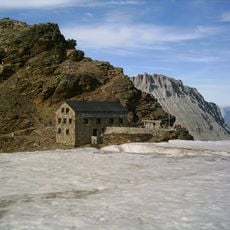
The Kander Neve measured 6.6 km long in 2005 and covered 13.9 km² in 1973; by 2024 its area was just under 12 km². Its tongue, also called Alpetligletscher, stood at 2300 m above sea level in 2010 above the drop into the Gasterental. The SAC's old Mutthornhütte at 2900 m was closed because of rock movements, and a new hut opened in 2025 one kilometre west at 2788 m.
The glacier's name lives on in the Kander river, which drains its meltwater through the Kandertal to Lake Thun. The lower tongue is also called Alpetligletscher. Above the ice, the Mutthornhütte of the Swiss Alpine Club served climbers from 2900 m until rock movements closed it; a replacement opened in 2025 a kilometre west at 2788 m.
Both the old Mutthornhütte (2900 m) and the new one built in 2025 a kilometre west (2788 m) can only be reached across the glacier, either from the Gasterental or from the Lauterbrunnen valley. The tongue ends at about 2300 m above a steep drop into the Gasterental, so the approach is a glacier crossing, not a marked hiking trail.
The glacier's lowest section is also called Alpetligletscher, and its tongue ends above a steep drop into the Gasterental. The Kander, which drains it, flows through the Kandertal to Lake Thun, then into the Aare and the Rhine.
The community of curious travelers
AroundUs brings together thousands of curated places, local tips, and hidden gems, enriched daily by 92,781 contributors worldwide.