Wutach, River system in Black Forest, Germany
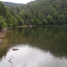
The Wutach is a river system in the southeastern Black Forest that flows across considerable distance and forms a border between Baden-Württemberg and Canton Schaffhausen. The system consists of several connected sections: the Seebach at its source, the Gutach flowing through Titisee, and the Wutach in its lower course.
The Wutach was first documented in 1122, appearing in regional records as Vutahe, establishing its presence in written sources for nearly nine centuries. These early mentions show that the river system already held importance in the local landscape and economy at that time.
The name Wutach comes from ancient language roots, with 'Wut' relating to force and motion, and 'ach' a Celtic word for water. Walking along the river, you encounter these old names woven into the landscape and the local identity.
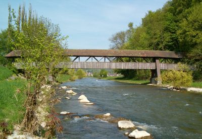
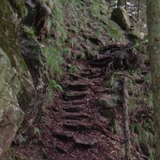
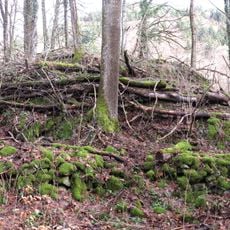
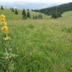
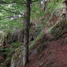
The area around the river offers various access points and walking paths that make it easy to explore different sections. Keep in mind that conditions along the river can vary depending on the season and rainfall, particularly during higher water levels.
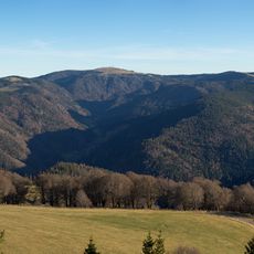
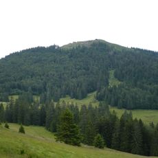
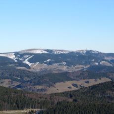
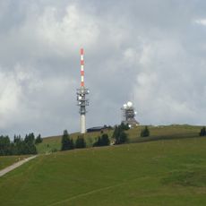
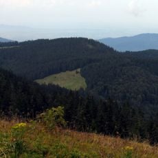
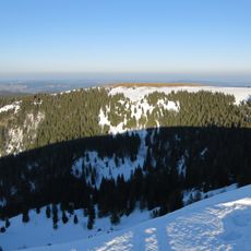
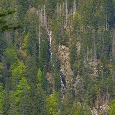
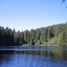
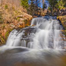
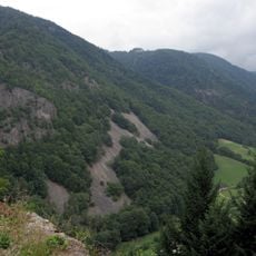
The Wutach system descends approximately 1,125 meters from its source at Seebuck to its Rhine confluence, creating numerous waterfalls and gorge formations along the way. This dramatic elevation drop over a relatively compact distance makes it a geologically interesting area with varied landscape features.
The community of curious travelers
AroundUs brings together thousands of curated places, local tips, and hidden gems, enriched daily by 60,000 contributors worldwide.