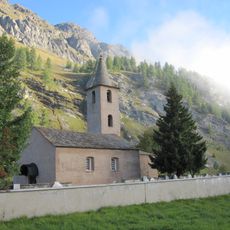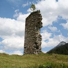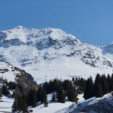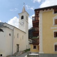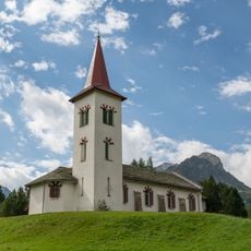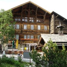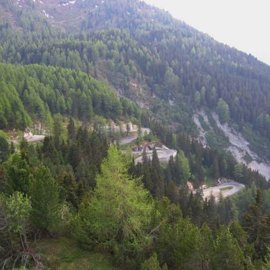
Maloja Pass, Mountain pass in Grisons, Switzerland.
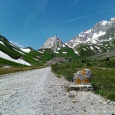
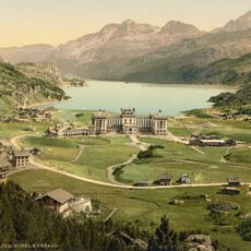
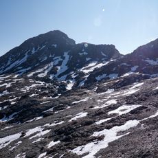
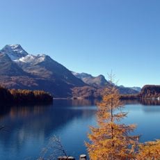
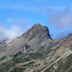
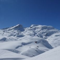
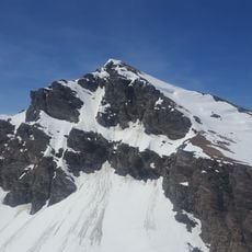
Maloja Pass is a mountain road in the Swiss Alps at 1,815 meters (5,955 feet) elevation connecting the Engadin valley with the Bregaglia valley near the Italian border. The route crosses through alpine terrain with steep slopes, open high plateaus, and forested sections.
The Romans laid a first mule track over the pass, later abandoned; cart ruts cut into the rock of the old Malögin path are of uncertain age. A small road followed in 1776, and between 1827 and 1839 Richard La Nicca built a modern road with 22 bends, 13 of them hairpins, on the western ramp. It reached Italy in 1859, and by the late 19th century up to 12,000 horses crossed monthly.
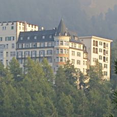
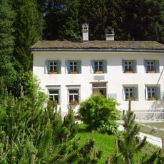
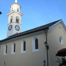
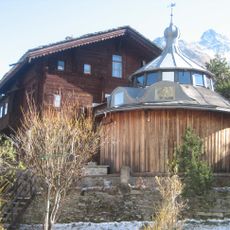
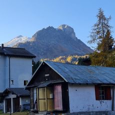
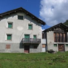
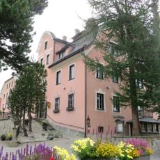
The name comes from the Veltlin herders' word Maloggia, meaning alder grove; locals in Romansh call it Malögia. South of the watershed the Bregaglia speaks Lombard and Italian, while the Engadin uses Romansh and German. In Maloja village, the painter Giovanni Segantini lived from 1894 and was buried in 1899; his house, atelier and the Segantini Weg path are open to visitors.
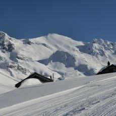
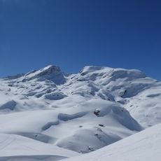
The pass road is open all year, but heavy snowfall can close it for a few hours or a whole day. Even when open, sections may stay snow-covered, so winter tyres and possibly chains are required. The northern Engadin approach climbs only 343 m over 49 km to Zernez, while the southern ramp drops steeply towards Chiavenna.
The pass forms a watershed divide between the Danube and Po river basins, separating two different European water systems. This geographical line is not visible with the naked eye as you drive, but it determines whether rainwater flows north or south.
The community of curious travelers
AroundUs brings together thousands of curated places, local tips, and hidden gems, enriched daily by 94,046 contributors worldwide.