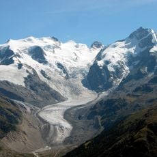
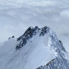
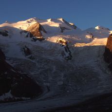
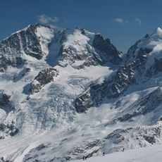
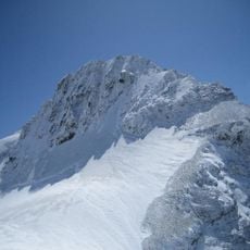
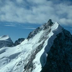
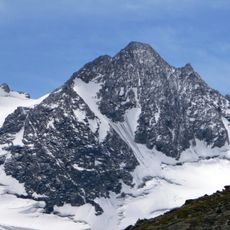
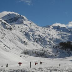
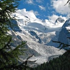
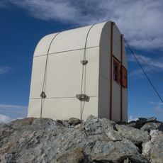
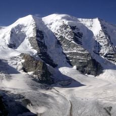
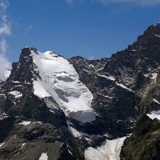
Tschierva Glacier, Glacier in the Bernina Range, Grisons, Switzerland.
Tschierva Glacier is a valley glacier in the Bernina Range, about 4 km long in 2013 with an area of 5.63 km² measured in 2015. A rock edge at Piz Scerscen and Piz Umur splits its upper part in two: the eastern branch starts on the steep west flank of Piz Bernina, the western branch in a deep cirque between Piz Roseg and Piz Scerscen at roughly 3300 m. It flows northwest along the southwest flank of Piz Morteratsch into Val Roseg, and in 2005 its tongue ended at 2340 m.
During the Little Ice Age the Tschierva Glacier reached its modern maximum around 1860. Until 1944 it was joined in Val Roseg with the Roseg Glacier; when that glacier withdrew, the Lej da Vadret formed between its tongue and the left lateral moraine of the Tschierva Glacier. In August 1954 meltwater and heavy rain raised the lake level by 85 centimetres, and the outflow eroded and drained rapidly, contributing to the Oberengadin flood damage that summer.
Scientists and researchers gather data from the Tschierva Glacier as part of the Swiss glacier monitoring network to study environmental changes.
The area is reached by marked trails from Roseg Valley, with summer months offering the best accessibility and conditions. Proper hiking boots and alpine experience are necessary, as the routes are steep and demanding.
Until 1944 the Tschierva Glacier still joined the Roseg Glacier in Val Roseg; when the Roseg Glacier withdrew, the Lej da Vadret formed between its tongue and the Tschierva's left lateral moraine. In August 1954 meltwater and heavy rain raised that lake by 85 centimetres, and the outflow eroded rapidly, contributing to the Oberengadin flood damage that summer.
The community of curious travelers
AroundUs brings together thousands of curated places, local tips, and hidden gems, enriched daily by 94,047 contributors worldwide.