
Blaue Tosse, mountain in Switzerland
Location: Entlebuch District
Elevation above the sea: 1,754 m
GPS coordinates: 46.96042,8.15506
Latest update: May 29, 2025 09:11
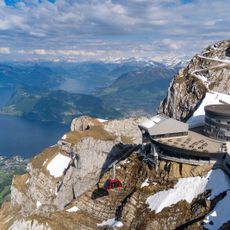
Mount Pilatus
7.9 km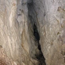
Mondmilchloch
4.9 km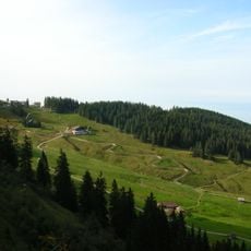
Fräkmüntegg
7.8 km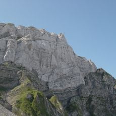
Tomlishorn
6.7 km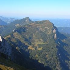
Mittaggüpfi
2.8 km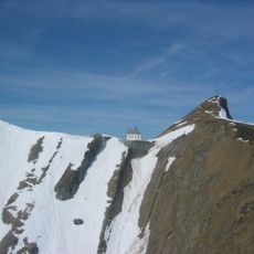
Klimsenhorn
7.7 km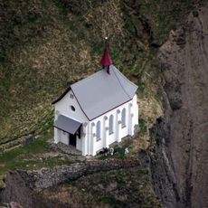
Klimsenhorn Chapel on Mount Pilatus
7.7 km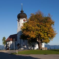
Holy Cross Church
8.2 km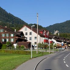
Schoried
8.2 km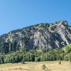
Schimbrig
3.9 km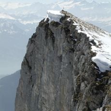
Widderfeld
5.7 km
Stäfeliflue
870 m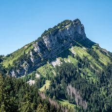
Schafmatt LU
8.8 km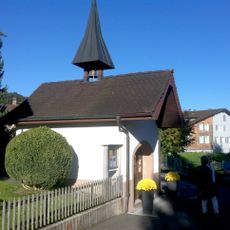
Enniger Kapelle
8.3 km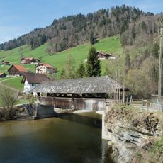
Graben bridge
8.6 km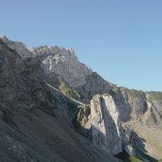
Chastelendossen
7 km
Hasle
8.1 km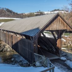
Farbschachenbrücke
7.7 km
Zwischenwassernbrücke
8.1 km
Pilatus
7.8 km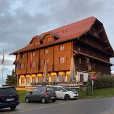
Heiligkreuz
8.1 km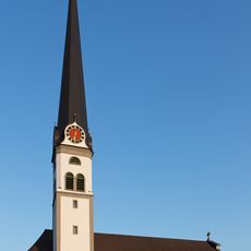
Catholic Church of St. Martin
8.7 km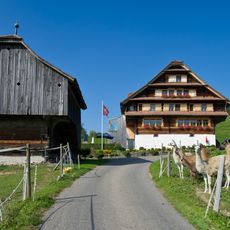
Scharmoos farmyard
7.9 km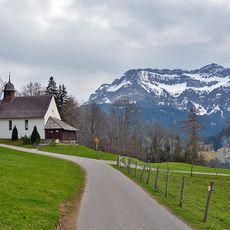
Chapel St. Maria
7 km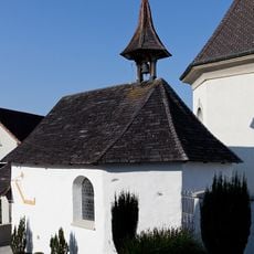
Ossuary chapel near the catholic church
8.2 km
St. Martin Catholic Church
7.7 km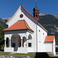
St. Theodul Chapel
8.2 km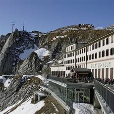
Pilatus-Kulm Hotel
7.8 kmReviews
Visited this place? Tap the stars to rate it and share your experience / photos with the community! Try now! You can cancel it anytime.
Discover hidden gems everywhere you go!
From secret cafés to breathtaking viewpoints, skip the crowded tourist spots and find places that match your style. Our app makes it easy with voice search, smart filtering, route optimization, and insider tips from travelers worldwide. Download now for the complete mobile experience.

A unique approach to discovering new places❞
— Le Figaro
All the places worth exploring❞
— France Info
A tailor-made excursion in just a few clicks❞
— 20 Minutes