
Drümännler, mountain in Switzerland
Location: Frutigen-Niedersimmental administrative district
Elevation above the sea: 2,436 m
GPS coordinates: 46.53111,7.53871
Latest update: July 13, 2025 10:06
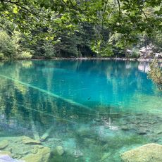
Blausee
9.7 km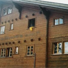
Our Chalet
5.2 km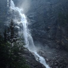
Engstligen falls
9 km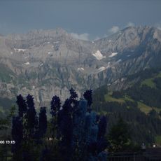
Gross Lohner
8.7 km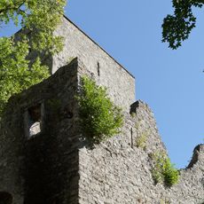
Tellenburg castle ruin
10 km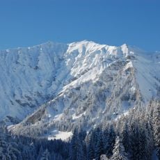
Albristhorn
5.4 km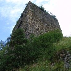
Felsenburg
10.3 km
Bunderspitz
7.6 km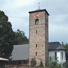
Adelboden village church
4.5 km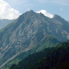
Fitzer
9 km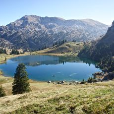
Seehorn
7.1 km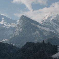
Wiriehorn
5.5 km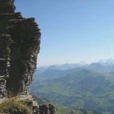
Gsür
2.7 km
Spillgerte
7.1 km
Gütsch Nr. 1142
9.8 km
First
8.5 km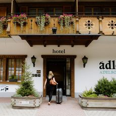
Adler Adelboden
4.6 km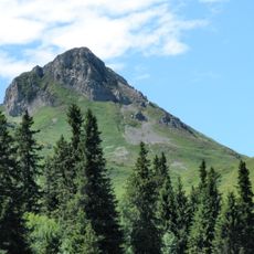
Regenboldshorn
10.2 km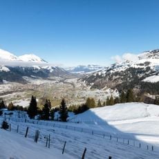
Elsighorn
7.7 km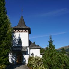
Peter and Paul church
4.4 km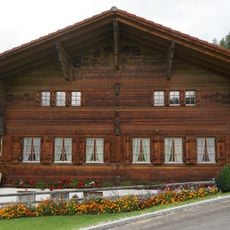
Farmhouse (1742)
9.7 km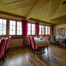
Adelboden
4.5 km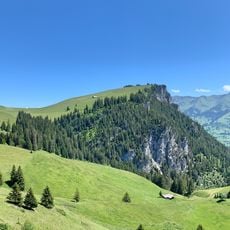
Abendberg
10.2 km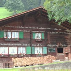
Farmhouse (1771)
4.1 km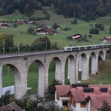
Kander Viaduct
10.1 km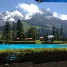
Lido Adelboden
5 km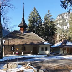
Chapel (1911)
6.3 km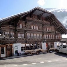
Klossner house (inn)
7 kmReviews
Visited this place? Tap the stars to rate it and share your experience / photos with the community! Try now! You can cancel it anytime.
Discover hidden gems everywhere you go!
From secret cafés to breathtaking viewpoints, skip the crowded tourist spots and find places that match your style. Our app makes it easy with voice search, smart filtering, route optimization, and insider tips from travelers worldwide. Download now for the complete mobile experience.

A unique approach to discovering new places❞
— Le Figaro
All the places worth exploring❞
— France Info
A tailor-made excursion in just a few clicks❞
— 20 Minutes