
Luterbüel, mountain in Switzerland
Location: Bern-Mittelland administrative district
Elevation above the sea: 1,400 m
GPS coordinates: 46.75032,7.42911
Latest update: April 19, 2025 02:58
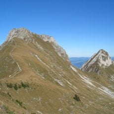
Gantrisch
5.3 km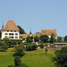
Burgistein Castle
7.1 km
Guggershorn
7.6 km
Gantrisch Nature Park
6.3 km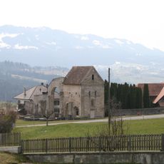
Ruin of the former Cluniac church and outbuildings
7.8 km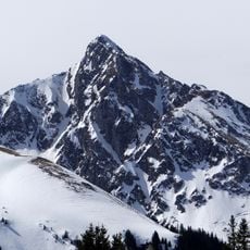
Ochsen
5.8 km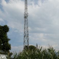
Schwarzenburg short wave radio transmitter
8.5 km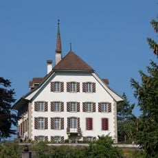
Old château
7.3 km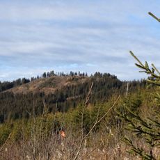
Pfyffe
4.5 km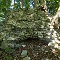
Ruine Festi Bennewil
8.4 km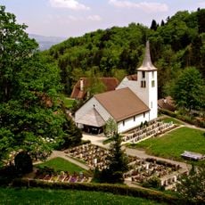
Reformed church
7 km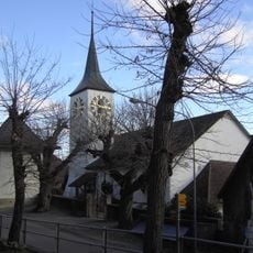
Reformed church
7.9 km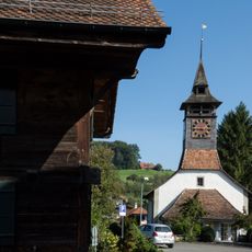
Reformed church with clergy house and barn
8.6 km
Burgistein Bir Linde
6.7 km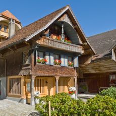
Trifelers Babis Stöckli
7.8 km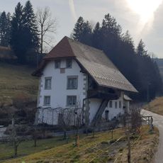
Kunklermühle
7.3 km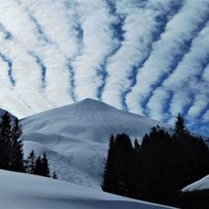
Birehubel
4.3 km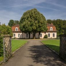
Abegg Villa
8.8 km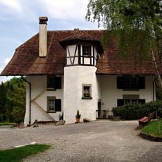
Former rectory
7 km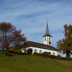
Reformed church
4.3 km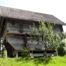
Henzischwand granary
7.5 km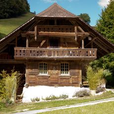
Speicherstöckli
5 km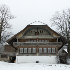
Farmhouse (1755)
8.1 km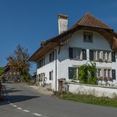
Rectory
8.6 km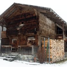
Granary (1621)
7.3 km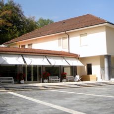
Building Abegg foundation, Werner Abeggstrasse 67–67a
8.8 km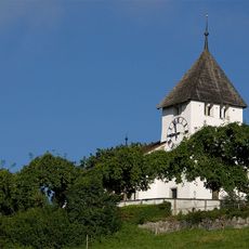
Reformed church
7.7 km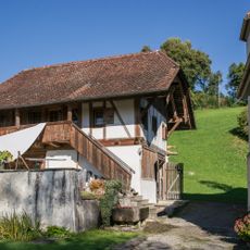
Stöckli at the rectory
6.2 kmReviews
Visited this place? Tap the stars to rate it and share your experience / photos with the community! Try now! You can cancel it anytime.
Discover hidden gems everywhere you go!
From secret cafés to breathtaking viewpoints, skip the crowded tourist spots and find places that match your style. Our app makes it easy with voice search, smart filtering, route optimization, and insider tips from travelers worldwide. Download now for the complete mobile experience.

A unique approach to discovering new places❞
— Le Figaro
All the places worth exploring❞
— France Info
A tailor-made excursion in just a few clicks❞
— 20 Minutes