Bafing Region, Administrative region in western Côte d'Ivoire
Bafing Region is an administrative territory in western Côte d'Ivoire composed of three departments with Touba serving as the main administrative center. The landscape and settlement patterns shape how communities are distributed across the land.
This region was established in the early 2000s through administrative reorganization of existing territories. It later became incorporated into a larger district structure as part of ongoing administrative changes.
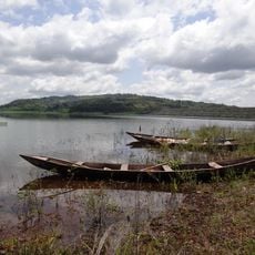
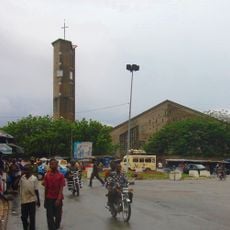
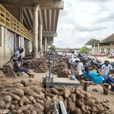
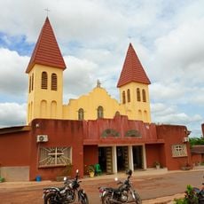
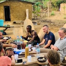
The communities scattered throughout this territory maintain their own local traditions and ways of life that remain visible in daily activities. Visitors can observe how people in towns like Touba and smaller settlements continue these practices as part of their everyday existence.
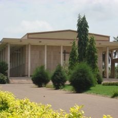
Touba serves as the central point for administrative services and general orientation within the territory. Visitors should be aware that settlements are spread across considerable distances with infrastructure suited to the region's characteristics.
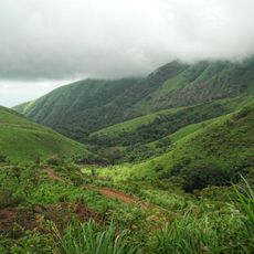
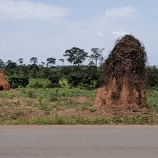
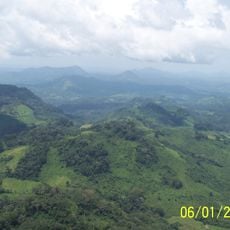
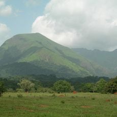
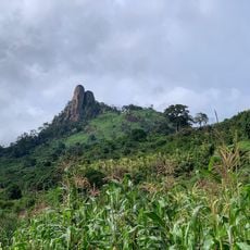
The territory has a notably sparse population distribution, with communities separated by significant open areas that characterize the landscape. This dispersed pattern creates a sense of space between settlements that differs markedly from more densely occupied regions.
Location: Woroba District
Capital city: Touba
Elevation above the sea: 425 m
Shares border with: Denguélé Region, Worodougou, Dix-Huit Montagnes
GPS coordinates: 8.50000,-7.50000
Latest update: December 12, 2025 07:57
Basilica of Our Lady of Peace of Yamoussoukro
307.3 km
Mount Richard-Molard
139.8 km
Mount Nimba Strict Nature Reserve
140.1 km
Stade de la Paix
285.5 km
Mount Wuteve
270.2 km
Lake Kossou
258.7 km
Marahoué National Park
225.3 km
Mont Tonkpi
117.4 km
Yamoussoukro Cathedral
308 km
Centennial Pavilion
184.1 km
St. Teresa of Infant Jesus Cathedral in Bouaké
287 km
Musée du Camp Soundiata Keita
288.3 km
Marché de gros de Bouaké
287.1 km
Les Cascades Naturelles de Man
121.5 km
OAU Memorial Place
184.1 km
Taï National Park
306.7 km
Cathedral of Christ the King of Dalo
214.2 km
Singes sacrés de la Foret Sacrée de Gbepleu
121.1 km
Tisserands traditionnels
226.2 km
Lac aux Caïmans
307.9 km
Kpatawee Waterfall
281.5 km
Mount Richard-Molard
141 km
La Dent de Man
116.3 km
Mont Tonkoui
117.4 km
Reserva Natural Integral del Monte Nimba
139.5 km
Groupe scolaire Ganleu
165.2 km
Campement Dent de Man
118 km
Reserve de la biosphere de ziama
166.1 kmVisited this place? Tap the stars to rate it and share your experience / photos with the community! Try now! You can cancel it anytime.
Discover hidden gems everywhere you go!
From secret cafés to breathtaking viewpoints, skip the crowded tourist spots and find places that match your style. Our app makes it easy with voice search, smart filtering, route optimization, and insider tips from travelers worldwide. Download now for the complete mobile experience.
A unique approach to discovering new places❞
— Le Figaro
All the places worth exploring❞
— France Info
A tailor-made excursion in just a few clicks❞
— 20 Minutes