
Zherong County, county
Location: Ningde
Inception: September 1945
Website: http://www.zherong.gov.cn/
Website: http://zherong.gov.cn
GPS coordinates: 27.23833,119.89365
Latest update: March 28, 2025 05:06
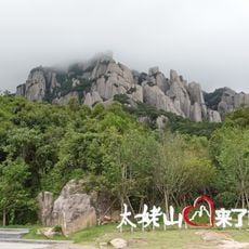
Mount Taimu
31.3 km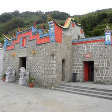
Qinbi Tianhou Temple
113.3 km
War and Peace Memorial Park Exhibition Center
113.9 km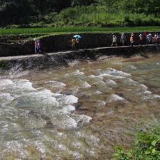
Baishuiyang
83.3 km
Luoyuan Wan
94.1 km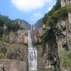
Bǎizhàng jì
68.7 km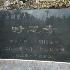
Shisi Temple
70.4 km
Huangmaojian Peak
100.9 km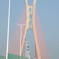
Feiyunjiang Bridge
93.6 km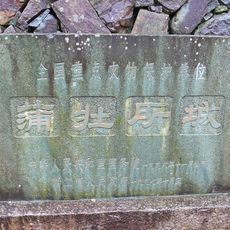
Puzhuangsuo Castle
54.2 km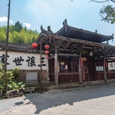
Temple of Wu Wenjian
76.7 km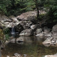
Wuyanling National Nature Reserve
56.4 km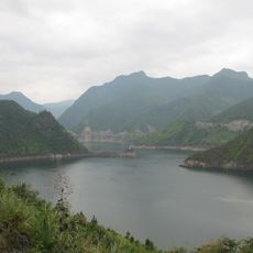
Tankeng reservoir
98.9 km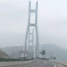
Shacheng Bay Bridge
39.5 km
Mount Baishanzu
89 km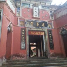
Jianshan Temple
40.3 km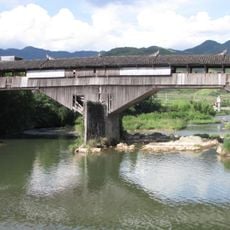
Qiansheng Bridge
92.6 km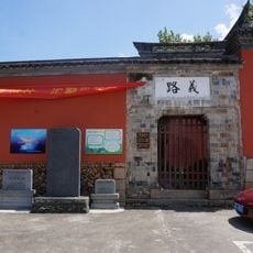
Jingning Confucian Temple
85.7 km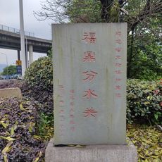
分水关
41.9 km
Pingnan Confucian Temple
87.8 km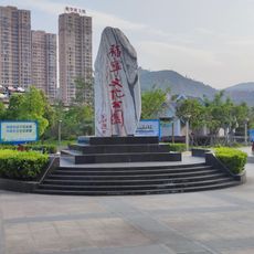
Funing Cultural Park
41.3 km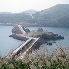
Zhongzhu Levee
113 km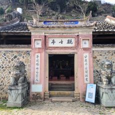
半岭畲族观音亭寨
32.4 km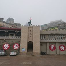
Zhongcheng Gate
113.5 km
Xiapu Mudflat
46.6 km
Mazhuping Shuiku
39.2 km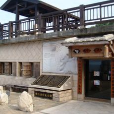
Qiaozi Fishing Village Exhibition Hall
112.1 km
小紫澳水庫
111.7 kmReviews
Visited this place? Tap the stars to rate it and share your experience / photos with the community! Try now! You can cancel it anytime.
Discover hidden gems everywhere you go!
From secret cafés to breathtaking viewpoints, skip the crowded tourist spots and find places that match your style. Our app makes it easy with voice search, smart filtering, route optimization, and insider tips from travelers worldwide. Download now for the complete mobile experience.

A unique approach to discovering new places❞
— Le Figaro
All the places worth exploring❞
— France Info
A tailor-made excursion in just a few clicks❞
— 20 Minutes