Red River, Major river system in Lào Cai, Vietnam
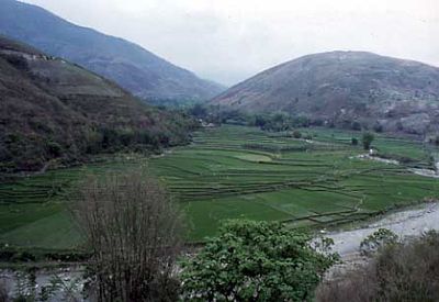
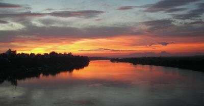
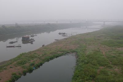
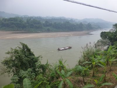
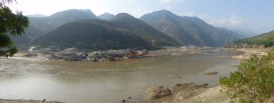
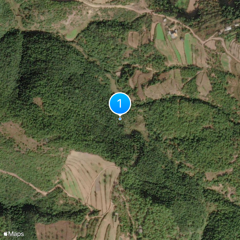
The Red River is a waterway in Lào Cai, Vietnam, running more than a thousand kilometers from Yunnan Province in China to its delta on the Gulf of Tonkin. Small fishing villages and rice terraces line the banks as the murky water flows through narrow valleys between forested slopes.
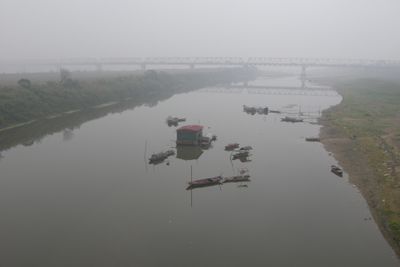
The river served for centuries as a trade route between China and the plains of northern Vietnam, with merchants transporting silk, tea, and spices downstream. Railway lines replaced river navigation as the main transport for goods in the early 20th century.
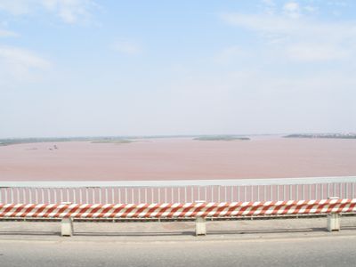
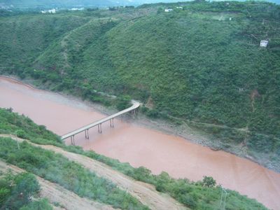
The river takes its name from the reddish sediment washed down from the Yunnan highlands that tints the water. Along the banks, members of different ethnic groups weave traditional textiles and grow rice on the fertile floodplains.
Local ferries connect villages on both sides of the river and offer glimpses of daily life along the banks. Walking or cycling along the levees is often the best way to explore the area, as most paths beside the embankments remain unpaved.
Dozens of tributaries feed into the main channel, creating a branching network of smaller waterways throughout the province. During heavy monsoon rains, the river sometimes swells to more than double its normal width within a few hours.
The community of curious travelers
AroundUs brings together thousands of curated places, local tips, and hidden gems, enriched daily by 60,000 contributors worldwide.