China–Nepal border, International border between China and Nepal.
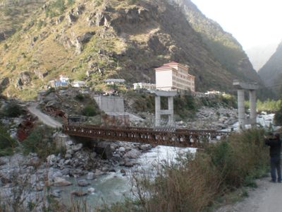
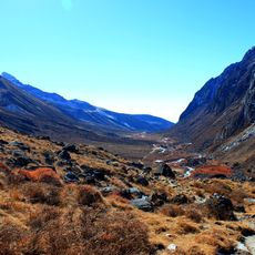
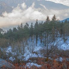
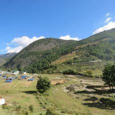
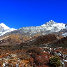
The China-Nepal border is a land boundary running through the Himalayan mountain range for approximately 1,200 kilometers. The terrain consists of high peaks, mountain passes, and valleys with six official crossing points distributed along the frontier.
The boundary was formally defined in 1961 through the Sino-Nepalese Treaty of Peace and Friendship. This agreement established clear territorial limits and created the legal foundation for the relationship between the two nations.
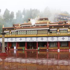
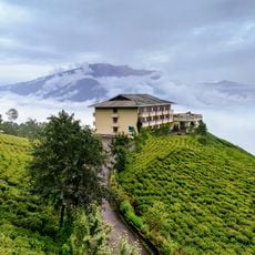
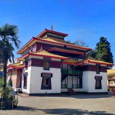
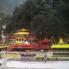
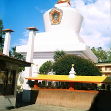
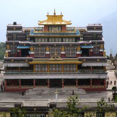
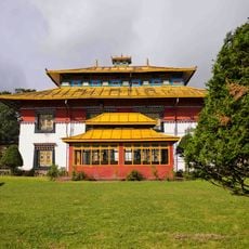
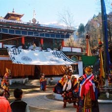
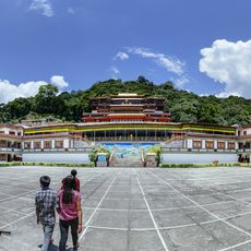
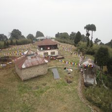
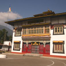
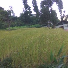
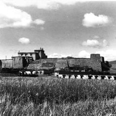
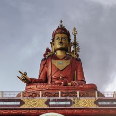
Tibetan and Nepali communities live on opposite sides and share trading routes and sacred sites through the mountains. People move across the border regularly to maintain their traditional business practices and religious observances.
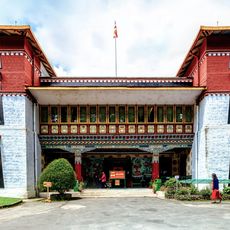
The Kodari Pass serves as the main crossing point for travelers and goods between the two countries and is regularly used. The terrain is mountainous and conditions vary by season, so visitors should check local information before traveling through.
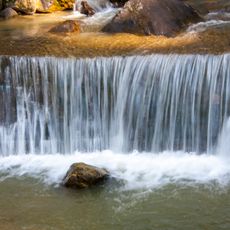
Mount Everest sits at this border, with its summit marking a point between the two nations. This highest mountain in the world makes the border region globally recognized and draws climbers from around the world.
The community of curious travelers
AroundUs brings together thousands of curated places, local tips, and hidden gems, enriched daily by 60,000 contributors worldwide.