Kowloon Walled City Park, Urban park in Kowloon City District, China
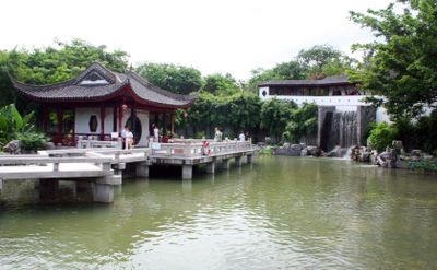
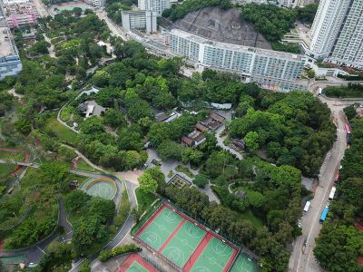
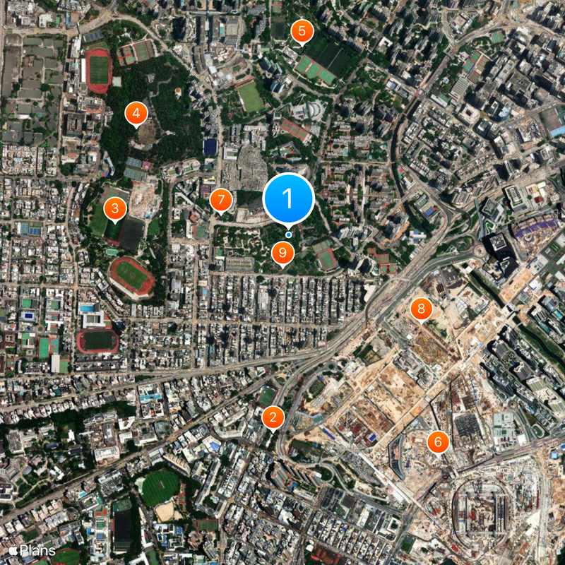
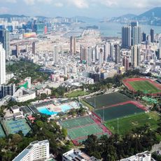
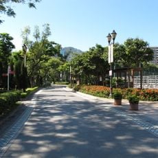
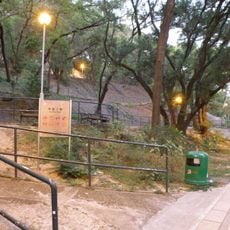
Kowloon Walled City Park is an urban park in Kowloon City District, China, built on the site of a former walled settlement. Eight themed zones spread across three hectares and include gardens with seasonal plantings, walkways between flowerbeds, and traditional Chinese pavilions.
The Chinese army established a military post here in 1847, which later grew into a densely inhabited settlement. In the 1990s the entire complex was demolished and replaced by the current park.
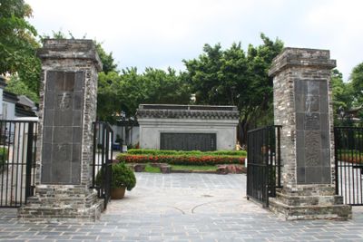
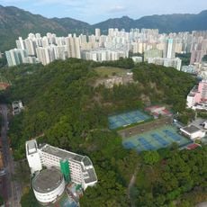
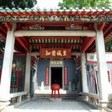
The Yamen building from the Qing era stands at the center and displays exhibits about former life behind the walls. Neighbors gather in the pavilions to play chess or practice tai chi on the paved squares.
Free guided tours let visitors discover architectural details and historical remains at several spots. The paths are mostly level and pass through shaded sections between the pavilions.
Twelve sculptures in the zodiac garden represent the traditional astrological signs and stand beside giant chessboards made of pebbles. Local residents often use the chess squares for spontaneous games with large pieces.
The community of curious travelers
AroundUs brings together thousands of curated places, local tips, and hidden gems, enriched daily by 60,000 contributors worldwide.