Xinfangzi, kapital sa baranggay sa Republikang Popular sa Tsina, Jilin Sheng, lat 41,56, long 127,36
Location: Changbai Korean Autonomous County
GPS coordinates: 41.55517,127.36038
Latest update: April 24, 2025 13:19
Baekdu Mountain
76.9 km
Gwanggaeto Stele
106.1 km
Changjin Reservoir
118.4 km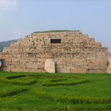
Capital Cities and Tombs of the Ancient Koguryo Kingdom
107.6 km
Hwando
109.4 km
Paektusan Secret Camp
74.7 km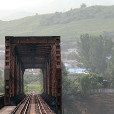
Ji'an Yalu River Border Railway Bridge
101.2 km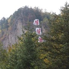
Jong-il Peak
74.5 km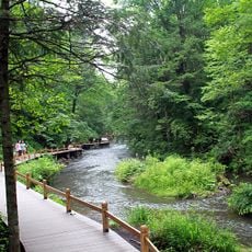
Longwanqun National Forest Park
118 km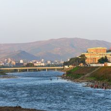
Changbai–Hyesan International Bridge
69.9 km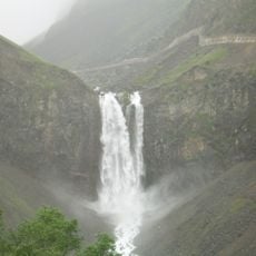
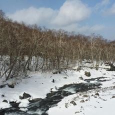
Changbai Waterfall
78.4 km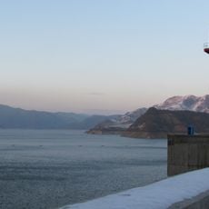
Unbong Dam
73.2 km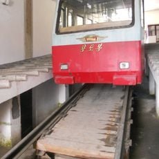
Mount Paektu Funicular
78 km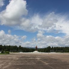
Samjiyon Revolutionary Battle Site
86.9 km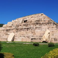
Ancient Tombs on the Donggou River
109.9 km
Wunü Peaks National Forest Park
108.3 km
Rimyongsu Waterfall
76.9 km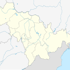
松山水库
59.3 km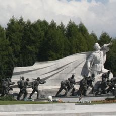
Statues of Grand Monument Samjiyon
87 km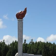
Torch tower
86.8 km
Changbaishan National Nature Reserve
79.4 km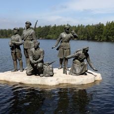
Statue to Guerrilla warfare, lake Samji
86.9 km
Chei Changjin-ho
101.4 km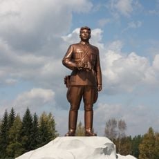
Statue of Kim Il-sung, Grand Monument Samjiyan
86.9 km
Pujŏn-ho
106.2 km
Sŏŏsuri-chosuji
89.5 km
Sohandae-chŏsuji
98.4 km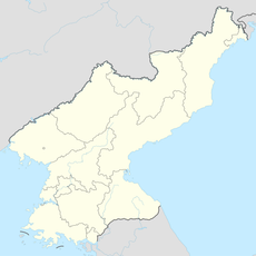
Sach'op'yŏng-jŏsuji
112.7 kmReviews
Visited this place? Tap the stars to rate it and share your experience / photos with the community! Try now! You can cancel it anytime.
Discover hidden gems everywhere you go!
From secret cafés to breathtaking viewpoints, skip the crowded tourist spots and find places that match your style. Our app makes it easy with voice search, smart filtering, route optimization, and insider tips from travelers worldwide. Download now for the complete mobile experience.

A unique approach to discovering new places❞
— Le Figaro
All the places worth exploring❞
— France Info
A tailor-made excursion in just a few clicks❞
— 20 Minutes