金龙镇街道, sous-district chinois
Location: Baijiantan District
GPS coordinates: 45.58256,84.99156
Latest update: March 31, 2025 16:08
Dzungarian Gate
202.7 km
Alakol State Nature Reserve
257.4 km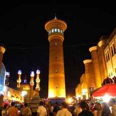
Grand Bazaar
288.8 km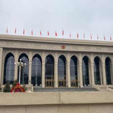
Xinjiang Hall of the People
282.9 km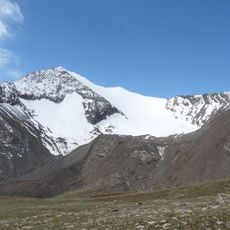
Urumqi Glacier No.1
313.2 km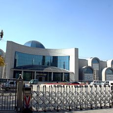
Xinjiang Museum
283.8 km
Tarbagatai National Park
307.5 km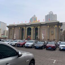
新疆人民剧场
288.2 km
Urumqi Confucius Temple
287.7 km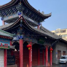
Ürümqi Shaanxi Mosque
288.3 km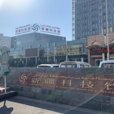
Xinjiang Science and Technology Museum
282.5 km
乌鲁木齐市植物园
276.5 km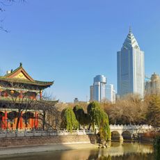
People's Park (Ürümqi)
286.7 km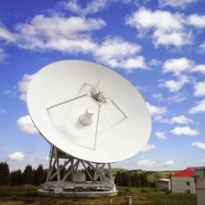
Xinjiang Astronomical Observatory
292.1 km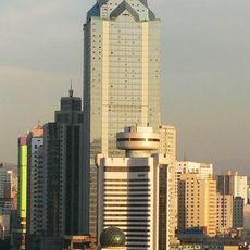
Zhong Tian Plaza
286.7 km
Memorial Hall of the 8th Route Army General Office in Xinjiang
289.2 km
Xishan Laojun Temple
281.8 km
Memorial Hall of the General Detachment of the West Road Army of the Chinese Workers' and Peasants' Red Army
287.7 km
Üygentas Aūdany
311.3 km
Alakol
258.7 km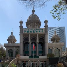
Khantengri Mosque
288 km
Mengjin Shuiku
259 km
Urumqi Science and Technology Museum
287.1 km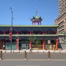
Ürümqi Southern Mosque
288.8 km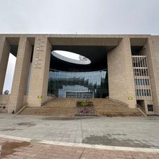
Karamay Library
8.8 km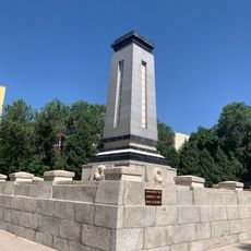
新疆各族人民烈士纪念碑
286.8 km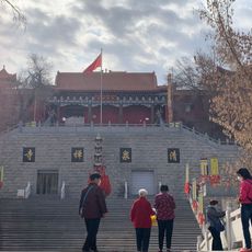
Qingquan Temple
287.3 km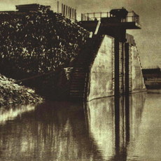
Hongyanchi Shuiku
294 kmReviews
Visited this place? Tap the stars to rate it and share your experience / photos with the community! Try now! You can cancel it anytime.
Discover hidden gems everywhere you go!
From secret cafés to breathtaking viewpoints, skip the crowded tourist spots and find places that match your style. Our app makes it easy with voice search, smart filtering, route optimization, and insider tips from travelers worldwide. Download now for the complete mobile experience.

A unique approach to discovering new places❞
— Le Figaro
All the places worth exploring❞
— France Info
A tailor-made excursion in just a few clicks❞
— 20 Minutes