Saale, River system in Bavaria, Thuringia, and Saxony-Anhalt, Germany
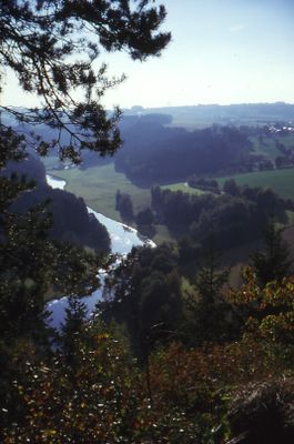
The Saale is a river system in Bavaria, Thuringia, and Saxony-Anhalt that runs 413 kilometers (257 miles) from the Fichtel Mountains to its mouth in the Elbe. It passes through narrow valleys between wooded slopes, widens across calm plains, and winds through gentle hills.
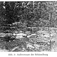
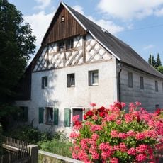
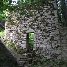
Medieval merchants used the river as a main trade route to transport goods between remote places and growing towns. This movement supported the growth of places that settled along strategic riverside points.
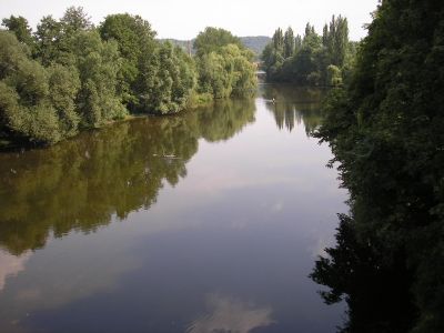
The riverbanks bring together people from three federal states who come here to taste traditional fish dishes, picnic on flat meadows, or dance to regional wines on summer weekends. The name comes from Celtic roots, recalling early settlers who relied on this waterway as their lifeline.
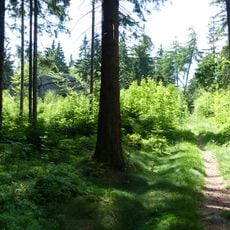
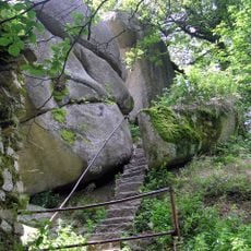
The water is suitable for swimming at several marked sections, while some areas offer dedicated docking spots for canoes and small boats. The banks are accompanied by walking paths that suit strolling and light cycling.
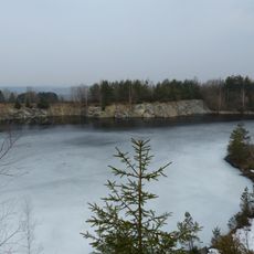
The two large dams, Bleiloch and Hohenwarte, generate hydroelectric power and form expansive reservoirs that attract numerous bird species and fish populations. These waters also serve as popular spots for calm boat rides and light fishing.
The community of curious travelers
AroundUs brings together thousands of curated places, local tips, and hidden gems, enriched daily by 60,000 contributors worldwide.