Zwenkau, Municipality in Leipzig district, Germany
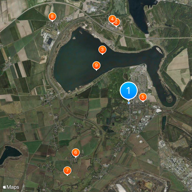
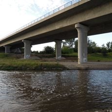
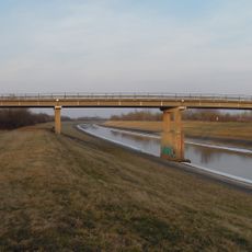
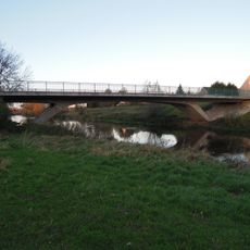
Zwenkau is a municipality near Leipzig that stretches between two rivers, combining residential areas with nature conservation zones. The urban area includes traditional settlement neighborhoods alongside larger water bodies and green spaces that shape the landscape.
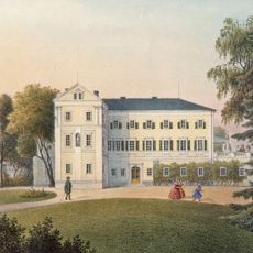
The earliest settlement in this region dates back to prehistoric times, confirmed by archaeological discoveries. Over thousands of years, the area developed as a continuously inhabited territory in Saxony with changing settlement patterns.
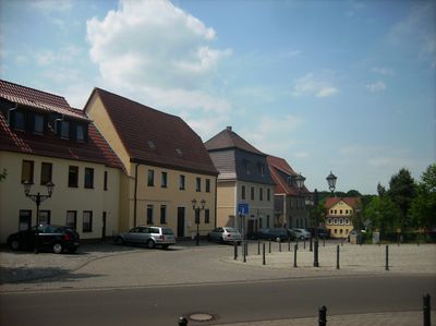
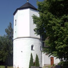
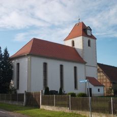
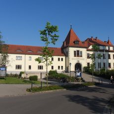
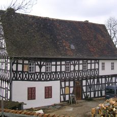
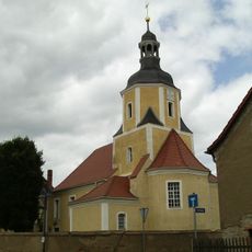
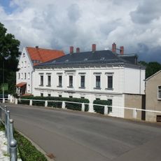
The central market square brings together residents for local gatherings and daily activities. The surrounding buildings display traditional Saxon architectural features through their characteristic facades and rooflines.
The best time to visit is during milder seasons when the green spaces and water areas are easily accessible. Regular bus connections to nearby Leipzig make it easy to explore the place and surrounding regions.
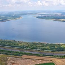
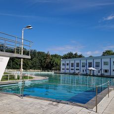
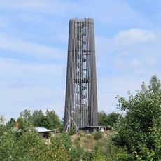
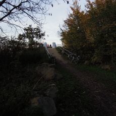
A large lake formed here through the flooding of a former mining pit and is now a major gathering spot for water sports enthusiasts and those seeking recreation. This transformation shows how industrial land can be reintegrated into the landscape.
Location: Landkreis Leipzig
Elevation above the sea: 130 m
Shares border with: Leipzig, Markkleeberg, Böhlen, Neukieritzsch, Groitzsch, Pegau
Website: https://zwenkau.de
GPS coordinates: 51.21750,12.32417
Latest update: December 13, 2025 17:10
Belantis
3.9 km
Zwenkauer See
2.8 km
Huracan
4 km
Haus Rabe
710 m
Wiederau
3.8 km
Wiederau transmitter
4.8 km
Andreaskirche
5.6 km
Rittergut Eythra
2.3 km
Tellschützer Kirche
4.2 km
Burg Zwenkau
102 m
Sattelhof Zwenkau
171 m
Drachenritt
4.2 km
Dorfkirche Zitzschen
4 km
Waldbad Zwenkau
429 m
Bistumshöhe Observation Tower
4.2 kmMietshaus in Ecklage Schillerstraße Arthur-Mahler-Straße 32
687 m
Johanniskirche
3.6 km
Kirche (mit Ausstattung) und Kriegerdenkmal für die Gefallenen des Ersten Weltkrieges und Kriegerdenkmal für die Gefallenen des Zweiten Weltkrieges auf dem Kirchhof Carsdorfer Straße -
4.2 kmSchule Geschwister-Scholl-Weg 1
3.1 kmBaumwoll-Spinnerei und Färberei Carl Ferdinand Höffer (ehem.) Tannenberg
4.5 kmSchuhfabrik Enke
1.6 km
Erikenbrücke
4.7 kmWohnstallhaus, zwei Seitengebäude, Scheune und Toreinfahrt eines Vierseithofes Wiederauer Straße 4
2.6 km
Zwenkauer Mühle
169 m
Aussichtspunkt Eythra
1.9 km
Hartmannsdorfer Elsterbrücke
4.8 km
Knautnaundorfer Elsterbrücke
4.9 km
Elsterbrücke Döhlen
3.2 kmVisited this place? Tap the stars to rate it and share your experience / photos with the community! Try now! You can cancel it anytime.
Discover hidden gems everywhere you go!
From secret cafés to breathtaking viewpoints, skip the crowded tourist spots and find places that match your style. Our app makes it easy with voice search, smart filtering, route optimization, and insider tips from travelers worldwide. Download now for the complete mobile experience.
A unique approach to discovering new places❞
— Le Figaro
All the places worth exploring❞
— France Info
A tailor-made excursion in just a few clicks❞
— 20 Minutes