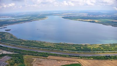
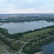
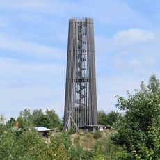
Zwenkauer See, Recreational reservoir in Leipzig, Germany
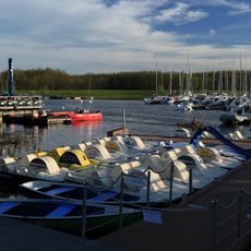
Zwenkauer See is a reservoir near Leipzig that covers roughly 970 hectares with about 22 kilometers of shoreline. The water reaches depths of around 49 meters in some areas, with multiple sections designed for swimming, sailing, and other water activities.
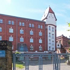
The lake formed from an old lignite mining pit that operated until 1999, transforming the landscape once extraction ended. After mining stopped, the pit was filled with water and converted into a recreation area for the region.
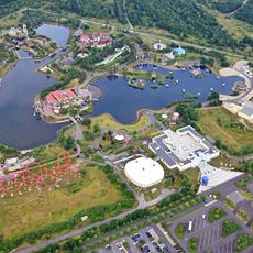
The lake serves as a gathering place where people spend summer days swimming, picnicking, and enjoying water sports along its shores. It has become a social center for the region where locals regularly meet for recreation and relaxation.
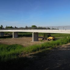
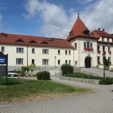
The lake can be accessed from multiple points along the shore, with parking available near the harbor area and regular bus connections to the KAP Zwenkau station. The summer months offer the best visiting conditions when water temperatures are comfortable and facilities are fully open.
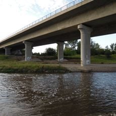
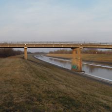
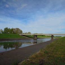
The lake serves as a flood protection system for Leipzig by holding water from the Weiße Elster river when water levels rise during storms. This practical role often goes unnoticed by visitors but influences how water levels and river flows are managed around the area.
The community of curious travelers
AroundUs brings together thousands of curated places, local tips, and hidden gems, enriched daily by 60,000 contributors worldwide.