Enable Location

We need your location to show you interesting places around you

Discover nearby places

Find interesting locations and hidden gems around you

Precise directions

Get accurate directions and distances to places

Your location is never shared with other users. It's only used when you tap the location button.

Lindlar

Log in to your account

Start exploring — it's free

Trusted by 62,836 travelers worldwide

Continue with Google
Continue with Apple
or

We will send you a code to connect

By continuing, you accept our Terms and Conditions and our Privacy Policy

Check your inbox

We've sent a pincode in your inbox. Please enter the code below.

Lindlar, Municipality in Oberbergischer Kreis, Germany.

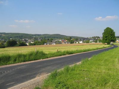
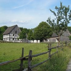
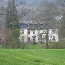
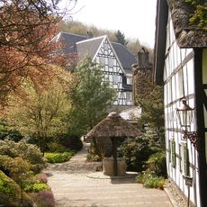
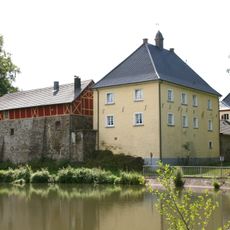
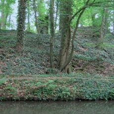
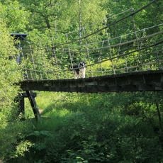
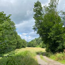
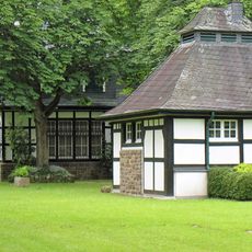
Lindlar is a municipality in Oberbergischer Kreis that spans across a wide area and encompasses several villages including Frielingsdorf and Linde. The area is characterized by forests and meadows, sitting in a transition zone between the Bergisches hill country and the Rhine region.

The first written mention of this municipality dates to 1109, when it was still called Lintlo. Stone Age artifacts suggest that the area had been inhabited in much earlier periods.

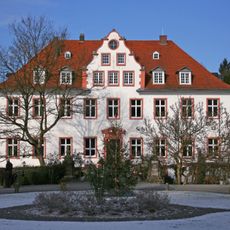
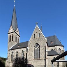
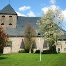
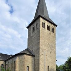
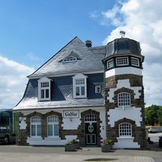
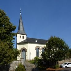
The Catholic parish church of Saint Severin shapes the local landscape with its Romanesque tower from the 12th century. The sacred building shows how the community has maintained its religious traditions across generations.

The municipality connects to neighboring areas through local bus services and provides access to the A4 motorway for regional travel. Visitors should note that the rural terrain is best explored by personal vehicle.

The municipal coat of arms was granted in 1935 and displays a lion of the Counts of Berg alongside a balance symbol that points to the historical court function. This emblem reminds visitors that the place served as an administrative and judicial center for centuries.

The community of curious travelers

AroundUs brings together thousands of curated places, local tips, and hidden gems, enriched daily by 60,000 contributors worldwide.

Start exploring
Elevation above the sea
252 m
Shares border with
Kürten, Engelskirchen
GPS coordinates
51.01667,7.38333
Latest update
December 19, 2025 22:46
« Lindlar - Municipality in Oberbergischer Kreis, Germany » is provided by Around Us (aroundus.com). Images and texts are derived from Wikimedia project under a Creative Commons license. You are allowed to copy, distribute, and modify copies of this page, under the conditions set by the license, as long as this note is clearly visible.

Discover hidden gems everywhere you go!

From secret cafés to breathtaking viewpoints, skip the crowded tourist spots and find places that match your style. Our app makes it easy with voice search, smart filtering, route optimization, and insider tips from travelers worldwide. Download now for the complete mobile experience.

Around Us App Screenshot

A unique approach to discovering new places

Le Figaro

All the places worth exploring

France Info

A tailor-made excursion in just a few clicks

20 Minutes

Around Us
Travel Guide & Maps
Download

Send to your phone

QR Code
1

Open the camera app on your mobile.

2

Point at the QR code with your camera. A notification will appear.

3

Tap the notification to open the link.