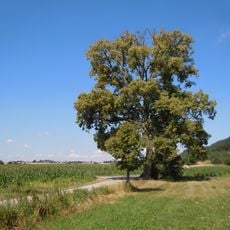
Spitzberg, Mountain summit in Tübingen, Germany
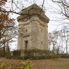
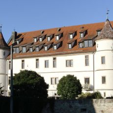
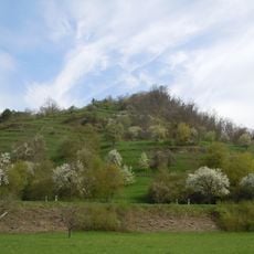
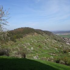
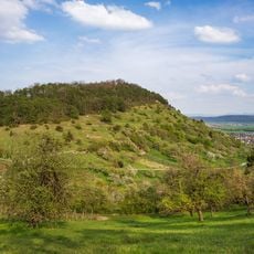
Spitzberg, also called Hirschauer Berg, is a 475.4 m high Keuper ridge on the edge of the Neckar valley near Tübingen. It runs west to east for 3.5 km between Wurmlingen and Tübingen and is 1.5 km wide; its southwest flank above Hirschau is wooded, and its flat plateau is formed by Stubensandstein. Its eastern spur is the Tübingen Schlossberg with Schloss Hohentübingen and the Bismarckturm.
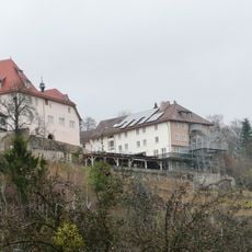
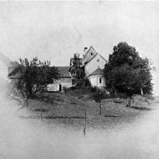
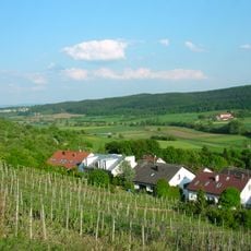
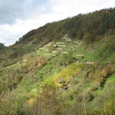
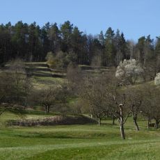
The Spitzberg's south-facing slopes were long used as vineyards by Tübingen's winegrowers, the so-called Gôgen, until the plots fell almost entirely fallow from the end of the 19th century. Numerous slope terraces, stepped stairs, fruit trees planted in former vineyard parcels and old vintner's huts remain visible. On a southeastern spur lies the abandoned Ödenburg site at 407.3 m.
Tübingen's winegrowers, known as the Gôgen, farmed the sunny southern slopes as vineyards for centuries, but from the end of the 19th century the plots fell almost entirely fallow. What remains are terraced slopes, stone steps, fruit trees planted in former vineyard parcels, and old winegrowers' huts visible from afar.
The place is reachable via several marked walking trails that pass through a protected landscape area and are well signposted. The paths work for different fitness levels and offer regular views of the surrounding area.
Since botanical recording began, over 1,200 fern and vascular plant taxa have been documented on the Spitzberg, and more than 1,300 beetle species are known from it. Some plant communities were first described here, making the hill one of Baden-Württemberg's best-studied areas for flora and fauna.
The community of curious travelers
AroundUs brings together thousands of curated places, local tips, and hidden gems, enriched daily by 94,480 contributors worldwide.