Lüneburg Heath, Natural landscape in Lower Saxony, Germany
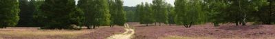
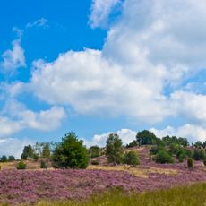
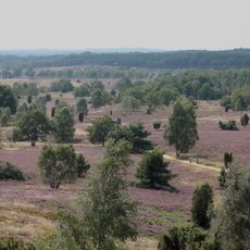
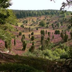
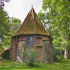
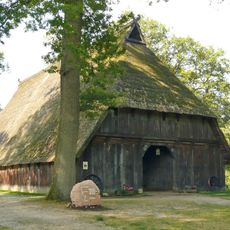
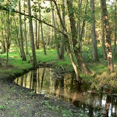
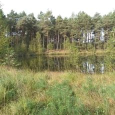
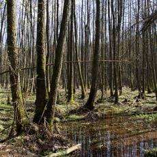
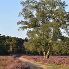
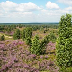
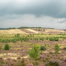
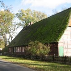
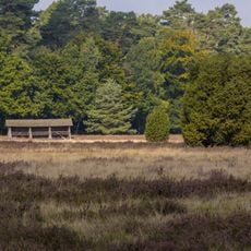
Lüneburg Heath is an expansive natural landscape in Lower Saxony covering more than 100,000 hectares (247,000 acres), combining open heathland, forests, wetlands, and sandy trails. Marked walking routes cross these different zones and reveal an area with characteristic plants, old tree stands, and open sightlines.
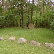
Dense woodland turned into open heath during the Neolithic period when people cleared trees and let sheep graze on the sandy ground. Mathematician Carl Friedrich Gauss later used the highest point in this region for his land surveys in the early 1800s.
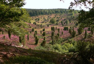
Shepherds guide their flocks across open terrain during late summer when purple blooms cover the ground, a scene rooted in centuries of farming tradition. Visitors walking the trails today notice the grazing animals keeping the land free from dense undergrowth that would otherwise return.
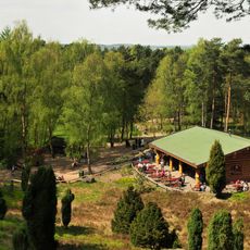
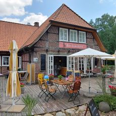
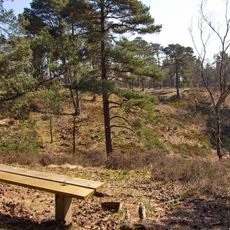
Walking trails cross the entire area and allow trips lasting a few hours or several days through changing landscapes. A visit to the nature center provides information about the plants and animals you might spot along the routes.
Wilseder Berg reaches 169 meters (554 feet) and once served as a key survey point for Carl Friedrich Gauss during his geodetic work. Today it offers the only car-free summit in the North German Plain and can only be reached on foot or by horse-drawn carriage.
The community of curious travelers
AroundUs brings together thousands of curated places, local tips, and hidden gems, enriched daily by 60,000 contributors worldwide.