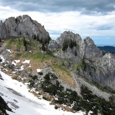
Mangfall Mountains, Alpine mountain range in Bavaria, Germany.
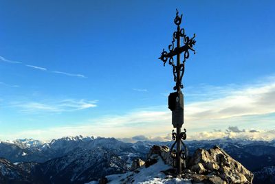
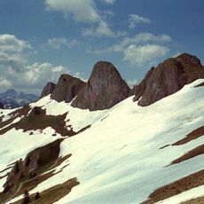
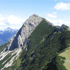
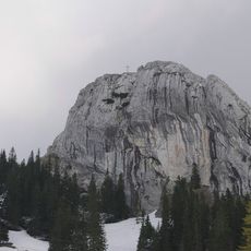
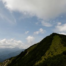
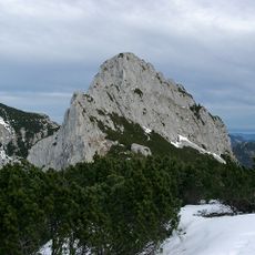
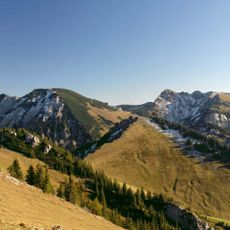
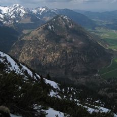
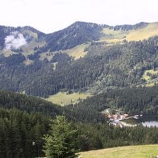
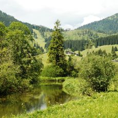
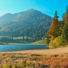
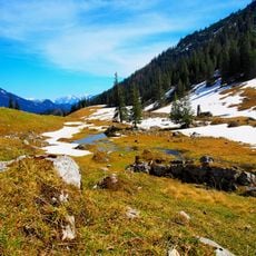
The Mangfall Mountains are an alpine range in Bavaria that extends between the Isar and Inn valleys, featuring numerous peaks with the Rotwand as its highest point. The range is marked by U-shaped valleys, several lakes, and a dense network of hiking trails throughout its terrain.
The mountains were shaped by the Würm glaciation during the last ice age, which formed the current landscape with its valleys and lakes. This glacial sculpting made the region a significant habitat and later an area of substantial human settlement.
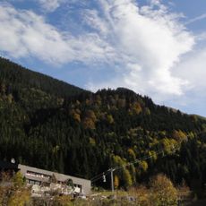
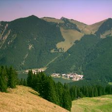
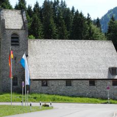
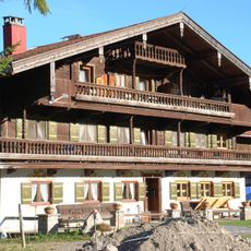
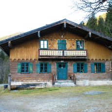
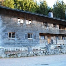
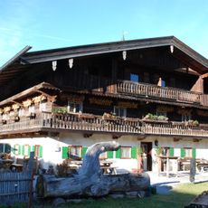
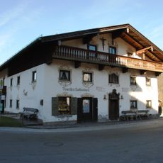
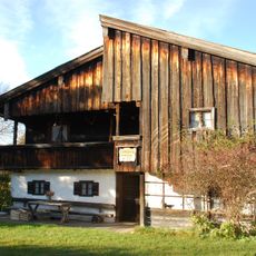
Mountain communities in the Mangfall area practice traditional Bavarian customs that shape daily life at this elevation, visible in local celebrations and crafts. Visitors encounter this living culture in small villages and inns, where alpine ways remain present.
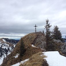
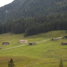
The area features a marked trail network for various difficulty levels and is accessible via public transportation from Munich. Visitors should prepare for rapid weather changes at elevation and bring appropriate gear.
The rivers Rottach, Weißach, Schlierach, and Leitzach originate in these mountains and supply drinking water to Munich, shaping the region's hydrological system. These water sources demonstrate the close link between the alpine landscape and the city's vital resources.
The community of curious travelers
AroundUs brings together thousands of curated places, local tips, and hidden gems, enriched daily by 60,000 contributors worldwide.