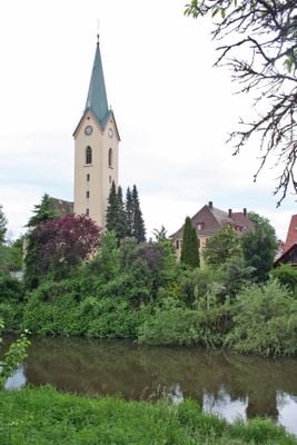
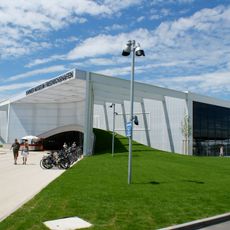
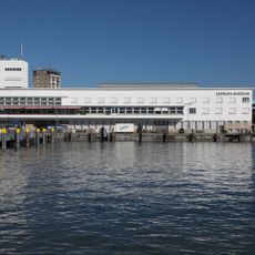
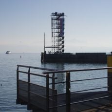
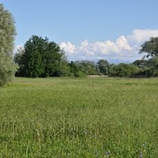
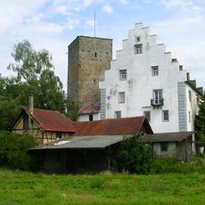
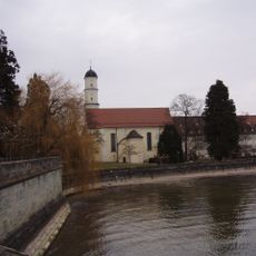
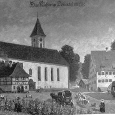
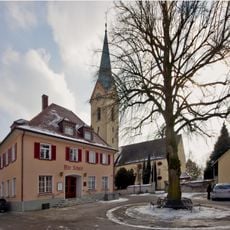
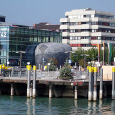
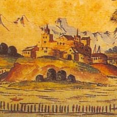
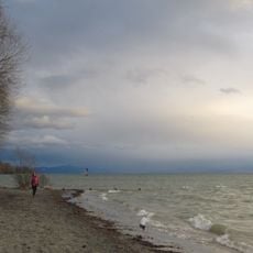
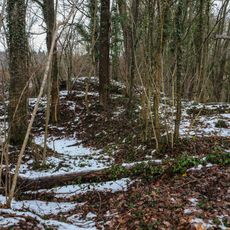
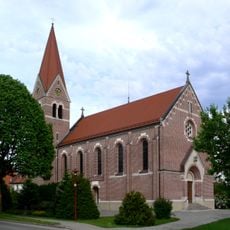
Eriskirch, municipality in Baden-Württemberg, Germany
Location: Bodenseekreis
Location: Eriskirch-Kressbronn a. B.-Langenargen GVV
Elevation above the sea: 400 m
Website: http://eriskirch.de
GPS coordinates: 47.62917,9.52917
Latest update: March 4, 2025 01:07
Dornier Museum Friedrichshafen
4.7 km
Museo Zeppelin
4.2 km
Schloss Montfort
3.6 km
Lookout tower Friedrichshafen
4.1 km
Eriskircher Ried
934 m
ZF Forum
4.7 km
Burg Gießen
5.3 km
Pfarrkirche St. Martin
3.6 km
Schussen
4.1 km
Kloster Löwental
4.5 km
St. Columban
4.1 km
Kavalierhaus Langenargen
3.5 km
Pfarrkirche Unserer lieben Frau
231 m
Kiesel im k42
4.2 km
Burg Argen
3.6 km
Württembergisches Bodenseeufer
1.7 km
Burgrest Baumgarten
2.9 km
Eriskircher Ried
934 m
Geowanderweg Tettnang
4.2 km
Höhe 493,8 südlich Tettnang bei Schäferhof
5.7 km
Bodenseeuferlandschaft östlich Friedrichshafen
1.9 km
Tettnanger Wald mit Hochwacht, Krüntenbühl, Reichenbühl, Argenhardter Kopf, Schoos und Steilrand des Argentales an dem Schwandenbogen
4.7 km
Eiszeitliche Ränder des Argentals mit Argenaue
5.2 km
Touristinformation
3.7 km
St. Wendelin, Oberdorf
3.5 km
Harbour station
4.2 km
Friedrichshafen harbour entrance lights
4.1 km
Portraitstele Hans Purrmann
3.6 kmVisited this place? Tap the stars to rate it and share your experience / photos with the community! Try now! You can cancel it anytime.
Discover hidden gems everywhere you go!
From secret cafés to breathtaking viewpoints, skip the crowded tourist spots and find places that match your style. Our app makes it easy with voice search, smart filtering, route optimization, and insider tips from travelers worldwide. Download now for the complete mobile experience.
A unique approach to discovering new places❞
— Le Figaro
All the places worth exploring❞
— France Info
A tailor-made excursion in just a few clicks❞
— 20 Minutes