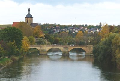
Lauffen am Neckar, Urban municipality on Neckar River in Heilbronn, Germany.
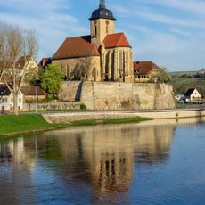
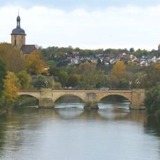
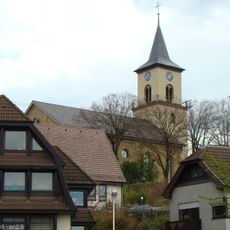
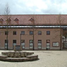
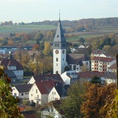
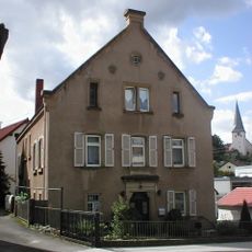
Lauffen am Neckar is a town straddling both banks of the Neckar River in the Heilbronn region, combining residential neighborhoods with commercial districts in a compact setting. The town center features shops, services, and streets that follow the river's path, creating a layout shaped by the water's presence.
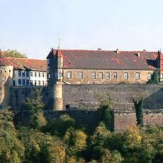
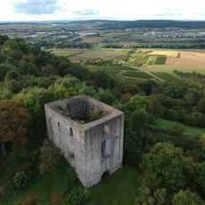
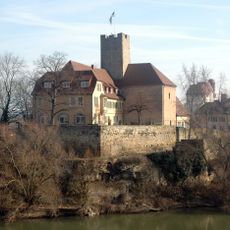
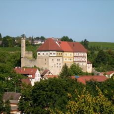
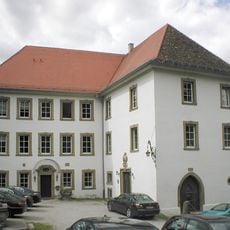
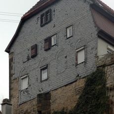
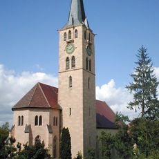
The settlement began as a Roman military post and grew into a medieval trading center, strengthened by its position along the river. Control of the Neckar River and connections to larger markets made it a crucial point on trade routes.
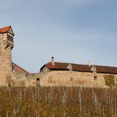
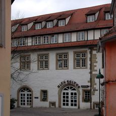
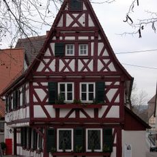
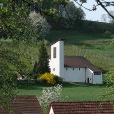
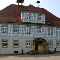
Wine production shapes how the town looks and feels, with vineyards covering the surrounding slopes as a defining feature of daily life. This heritage remains visible in local buildings, family businesses, and the rhythms of seasonal work throughout the year.
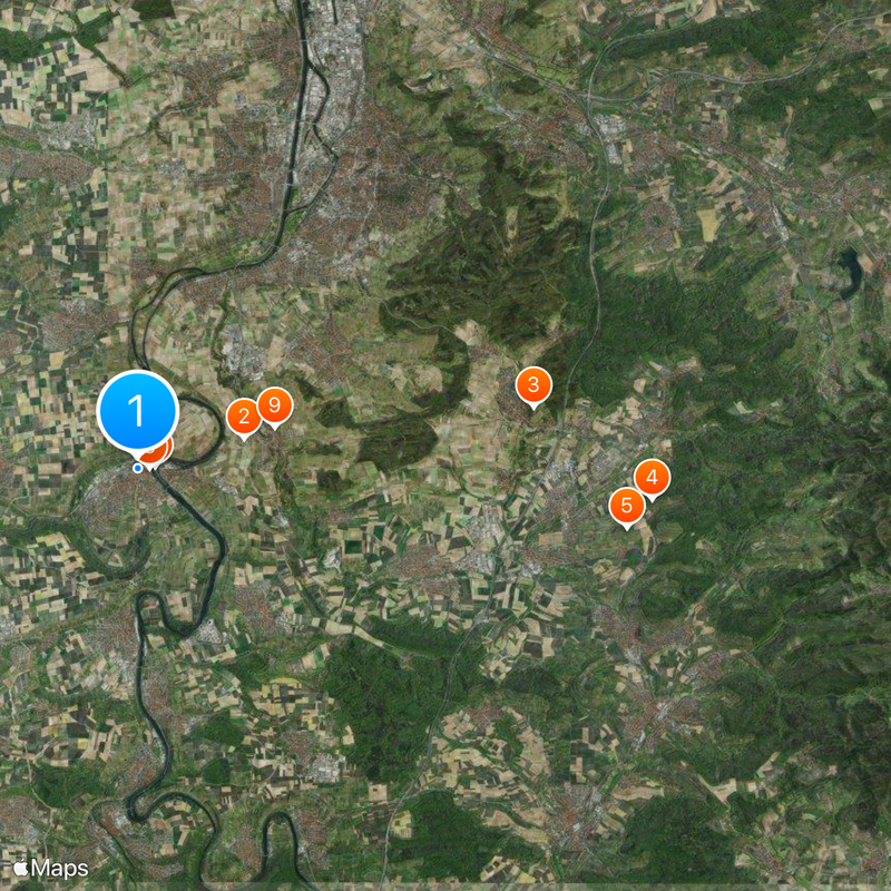
The town is easily reached by train from Stuttgart and Heilbronn, with shops, medical services, and facilities in the center for everyday needs. Walking through the town is straightforward, especially along the paths beside the river where the flat terrain makes getting around comfortable.
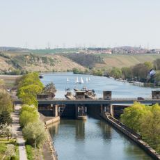
A hydroelectric power station has harnessed the Neckar's flow since the early 1900s, quietly providing renewable power to the community. Few visitors notice this facility, yet it represents an early example of how rivers were adapted to meet growing energy needs.
The community of curious travelers
AroundUs brings together thousands of curated places, local tips, and hidden gems, enriched daily by 60,000 contributors worldwide.