
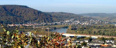
Wasserliesch, municipality of Germany
Location: Trier-Saarburg
Elevation above the sea: 135 m
Website: http://wasserliesch.de
GPS coordinates: 49.71111,6.53667
Latest update: April 3, 2025 23:10
Weingut von Othegraven
5.4 km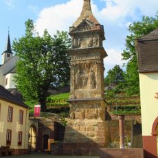
Igel Column
947 m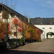
Roscheider Hof Open Air Museum
4.4 km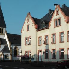
Protestant Church
3.6 km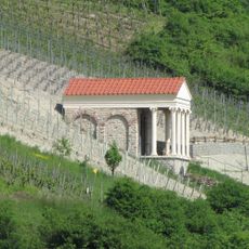
Grutenhäuschen Igel
663 m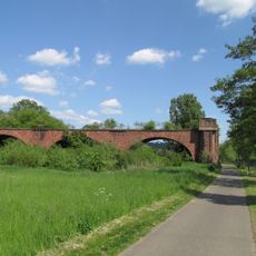
Hindenburgbrücke
1.9 km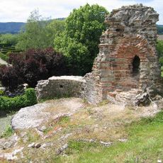
Kaiservilla Konz
3.3 km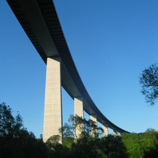
Sauer Valley Bridge
3.5 km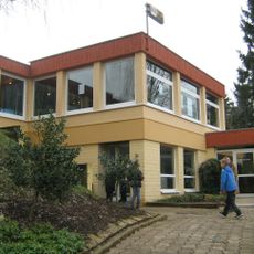
Wasserbillig Aquarium
2.6 km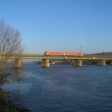
Eisenbahnbrücke Konz-Karthaus
2.7 km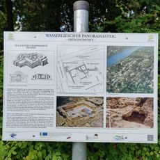
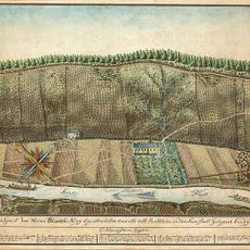
Villa rustica of Wasserliesch
214 m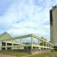
St.Nikolaus (Konz)
3.3 km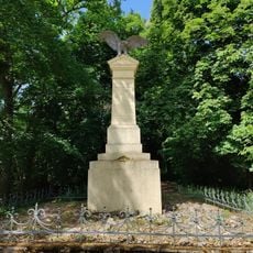
Granahöhe
1.9 km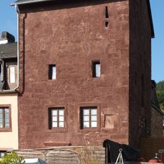
Zewener Turm
2.8 km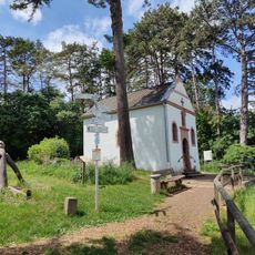
Löschemer Kapelle
1.1 km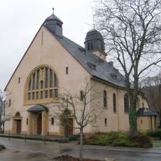
Aprus Church
310 m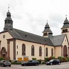
Eglise Saint-Martin Wasserbillig
2.6 km
Perfeist bei Wasserliesch
1.7 km
Kiesgrube bei Oberkirch
3.1 km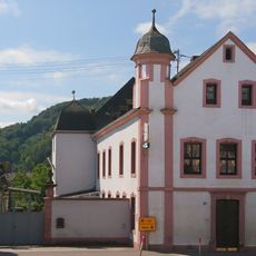
Burghaus
848 m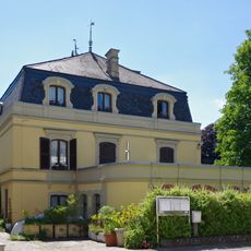
Mertert Castle
4.2 km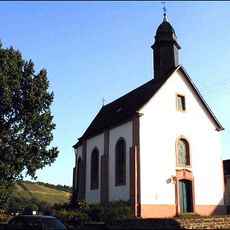
St. Michael
3.6 km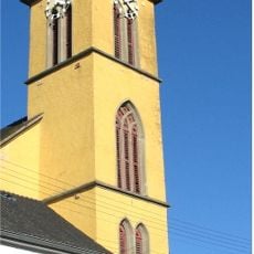
St. Remigius
2.7 km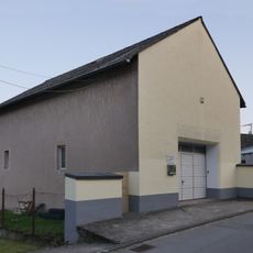
Synagoge Konz-Koenen
3.7 km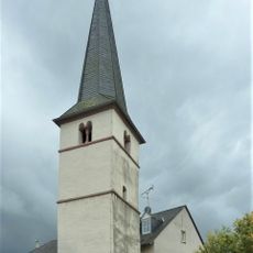
Alter Kirchturm (Tawern)
4.5 km
Synagoge
3.5 kmBréck zu Waasserbëlleg
2.2 km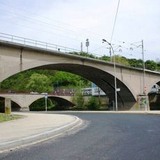
Eisebunnsbréck zu Waasserbëlleg
2.2 kmVisited this place? Tap the stars to rate it and share your experience / photos with the community! Try now! You can cancel it anytime.
Discover hidden gems everywhere you go!
From secret cafés to breathtaking viewpoints, skip the crowded tourist spots and find places that match your style. Our app makes it easy with voice search, smart filtering, route optimization, and insider tips from travelers worldwide. Download now for the complete mobile experience.

A unique approach to discovering new places❞
— Le Figaro
All the places worth exploring❞
— France Info
A tailor-made excursion in just a few clicks❞
— 20 Minutes