Garrel, municipality of Germany
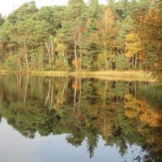
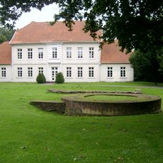
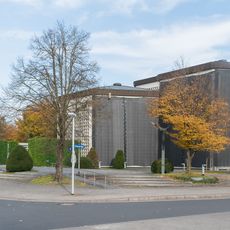
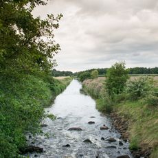
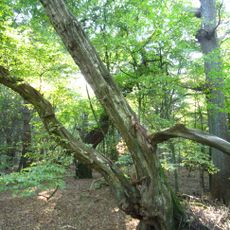
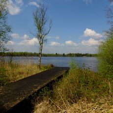
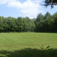
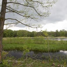
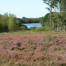
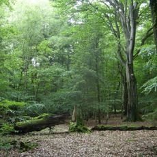
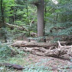
Garrel is a municipality in the Cloppenburg district of northern Germany, covering more than 100 square kilometers and consisting of multiple small villages spread across the area. The landscape is shaped by farmland, forests, and water bodies, with characteristic heath areas and gentle hills that define its rural character.
Garrel has deep roots as an agricultural community with a history spanning many generations of farming families. Over the past fifty years, a partnership with the French municipality of Bléré has connected this region to western Europe.
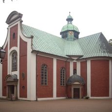
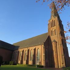
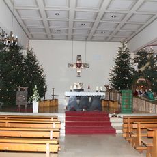
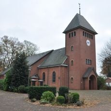
Local traditions shape community life, with events like shooting festivals and fairs bringing residents together throughout the year. The scattered villages within the municipality serve as centers where people gather to maintain customs and share in seasonal celebrations that reflect rural life.
The municipality is accessible by well-developed road networks, and visitors can explore the countryside using extensive cycling routes that wind through farmland and forests. Proximity to larger cities like Oldenburg allows for day trips, while local shops, cafes, and the Thülsfelder reservoir provide practical amenities for visitors.
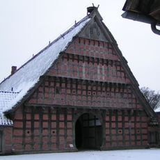
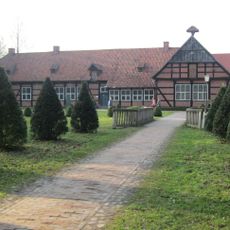
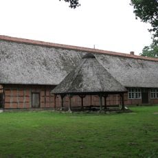
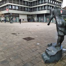
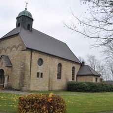
The Amerikastein monument and the Buurnmuseum reveal local stories that connect to the cultural heritage of this region in unexpected ways. These sites offer glimpses into aspects of the past that extend beyond typical rural narratives.
The community of curious travelers
AroundUs brings together thousands of curated places, local tips, and hidden gems, enriched daily by 60,000 contributors worldwide.