
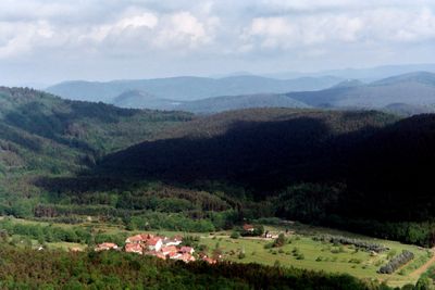
Böllenborn, municipality of Germany
Location: Bad Bergzabern
Elevation above the sea: 269 m
Website: http://boellenborn-reisdorf.de
GPS coordinates: 49.09778,7.93444
Latest update: March 3, 2025 03:51
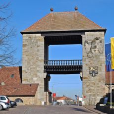
German Wine Gate
5.3 km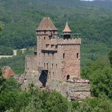
Berwartstein Castle
5.4 km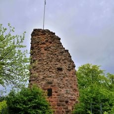
Guttenberg Castle
2.4 km
HexaTrek
5.8 km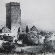
Château Saint-Paul
5.3 km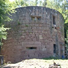
Little France
5.3 km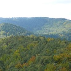
Hohe Derst
2 km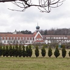
Kloster Liebfrauenberg
4 km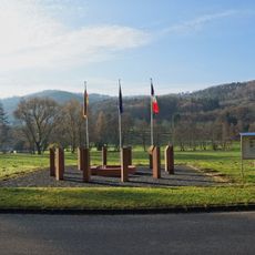
Europadenkmal
6.3 km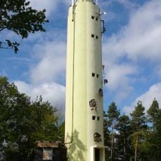
Stäffelsberg Tower
1.5 km
Bobenthaler Knopf
5.4 km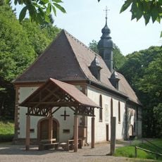
Kolmerberg-Kapelle (Dörrenbach)
1.9 km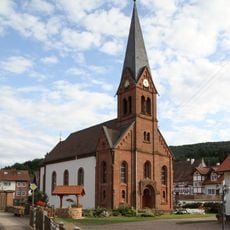
St. Michael
6.9 km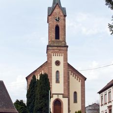
St. Gallus
2 km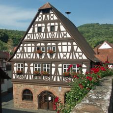
Town hall Dörrenbach
2.1 km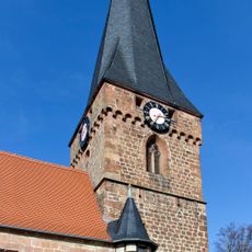
St. Martin
2.1 km
Nestelberg
5.6 km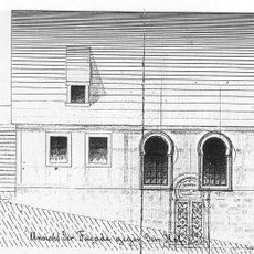
Synagoge
5.6 km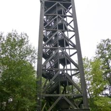
Bad Bergzabern Observation Tower
3.9 km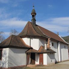
Notre-Dame de Wissembourg
6.4 km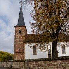
Protestantische Kirche
4.7 km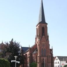
Parish church St. Martin
4.4 km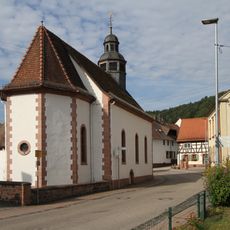
Mariae Himmelfahrt und St. Aegidius (Erlenbach bei Dahn)
5.6 km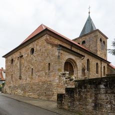
St. Simon and Jude
4.1 km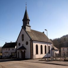
Saint Andrew's Church in Weiler
6.9 km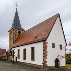
Protestantische Kirche (Oberotterbach)
4 km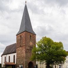
Protestantische Christuskirche
5.4 km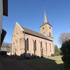
Protestant church in Vorderweidenthal
5.2 kmVisited this place? Tap the stars to rate it and share your experience / photos with the community! Try now! You can cancel it anytime.
Discover hidden gems everywhere you go!
From secret cafés to breathtaking viewpoints, skip the crowded tourist spots and find places that match your style. Our app makes it easy with voice search, smart filtering, route optimization, and insider tips from travelers worldwide. Download now for the complete mobile experience.

A unique approach to discovering new places❞
— Le Figaro
All the places worth exploring❞
— France Info
A tailor-made excursion in just a few clicks❞
— 20 Minutes