
Pluwig, municipality of Germany
Location: Trier-Saarburg
Elevation above the sea: 310 m
Website: http://www.pluwig.de
Website: http://pluwig.de
GPS coordinates: 49.69056,6.71000
Latest update: May 31, 2025 07:26
St. Matthias' Abbey
7.8 km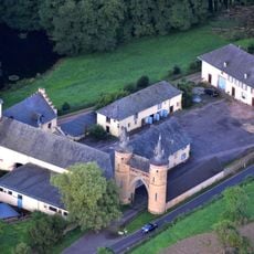
Burg Heid
5.6 km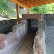
Römische Ruwerwasserleitung
6 km
Staustufe Trier
7.5 km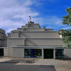
St. Michael
5.9 km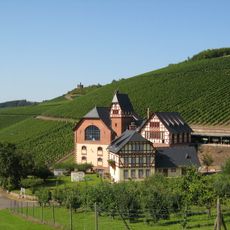
Staatliche Weinbaudomäne Trier
7.2 km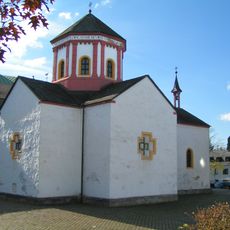
Heiligkreuzkapelle (Trier, Germany)
7.6 km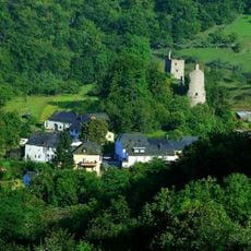
Burgruine Sommerau
3.4 km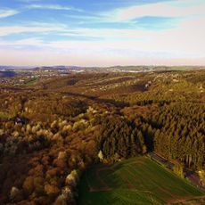
Mattheiser Wald
5.4 km
Schloss Marienlay
5.7 km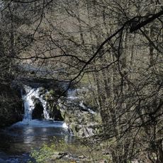
Sommerauer Wasserfall
3.3 km
Heilig-Kreuz-Kirche (Trier)
7.5 km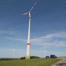
Dreikopf
5.3 km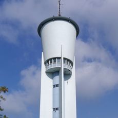
Wasserturm auf dem Petrisberg
7.6 km
Pluwiger Hammer
1.9 km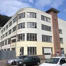
Romika-Werk - Konfektionsgebäude
2.3 km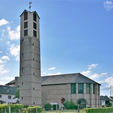
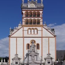
St. Valerius
6.8 km
Kuppensteiner Wild
3.1 km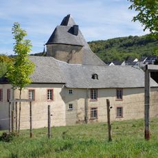
Irscher Burg
3.8 km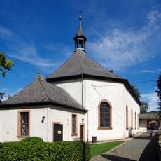
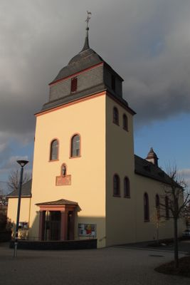
St. Georg und St. Wendelinus
3.8 km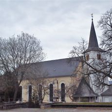
Saint Alban Church
8.3 km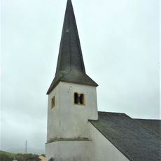
St Ursula's Church
5.1 km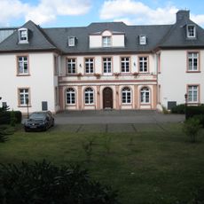
Margarethenhof
7.5 km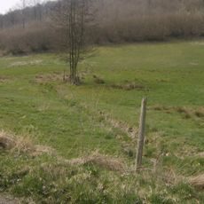
Klinkbachtal
6.7 km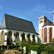
Marienkapelle
7.6 km
Enterbachtal
4 km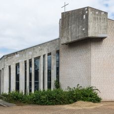
St. Maternus
6.7 km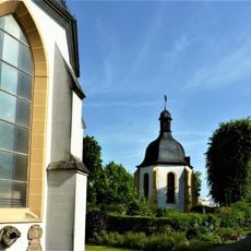
Quirinuskapelle
7.7 kmReviews
Visited this place? Tap the stars to rate it and share your experience / photos with the community! Try now! You can cancel it anytime.
Discover hidden gems everywhere you go!
From secret cafés to breathtaking viewpoints, skip the crowded tourist spots and find places that match your style. Our app makes it easy with voice search, smart filtering, route optimization, and insider tips from travelers worldwide. Download now for the complete mobile experience.

A unique approach to discovering new places❞
— Le Figaro
All the places worth exploring❞
— France Info
A tailor-made excursion in just a few clicks❞
— 20 Minutes