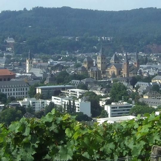
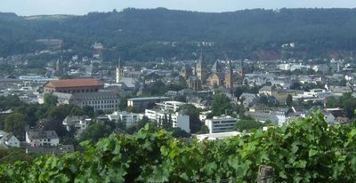
Trier-Mitte/Gartenfeld, old town
Location: Trier
Elevation above the sea: 136 m
GPS coordinates: 49.75440,6.64139
Latest update: April 5, 2025 22:25
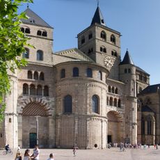
Cathedral of Trier
225 m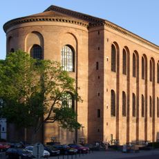
Aula Palatina
183 m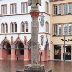
Marktkreuz Trier
262 m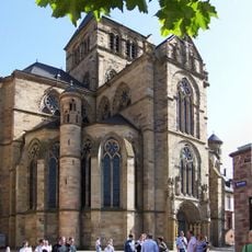
Liebfrauenkirche
197 m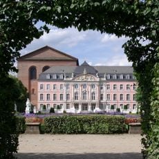
Electoral Palace
215 m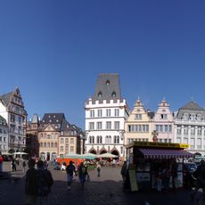
Hauptmarkt
257 m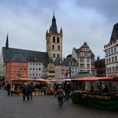
St. Gangolf's church
210 m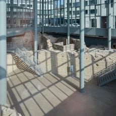
Forum baths
328 m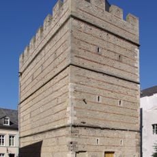
Frankenturm
312 m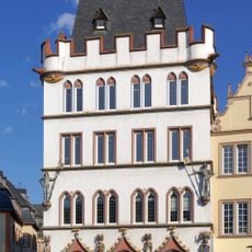
Steipe
259 m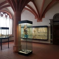
Treasury of the Cathedral of Trier
253 m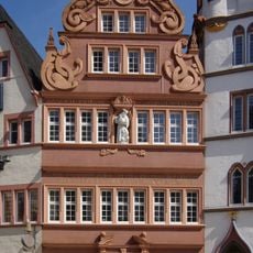
Rotes Haus
271 m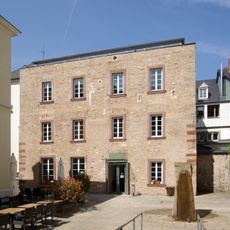
Turm Jerusalem
293 m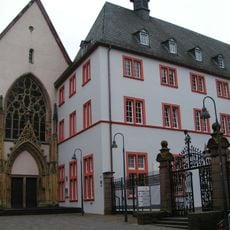
Jesuitenkirche
158 m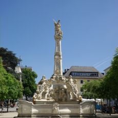
Georgsbrunnen
230 m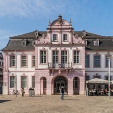
Palais Walderdorff
264 m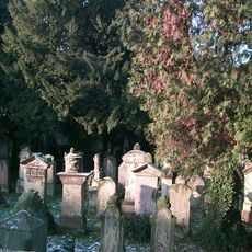
Jewish Cemetery in Trier
341 m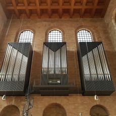
Organs in the Aula Palatina
183 m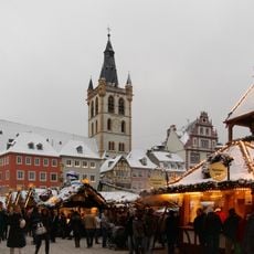
Trierer Weihnachtsmarkt
253 m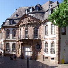
Palais Kesselstatt
144 m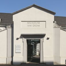
Bischöfliches Dom- und Diözesanmuseum Trier
352 m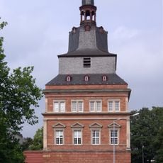
Roter Turm (Trier, Konstantinplatz)
182 m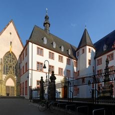
Bischöfliches Priesterseminar zu Trier
158 m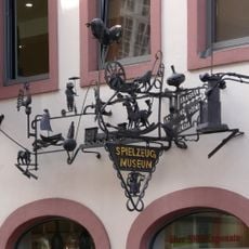
Spielzeugmuseum Trier
292 m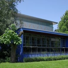
Municipal Library Trier
334 m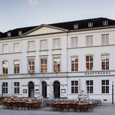
Französisches Casino
203 m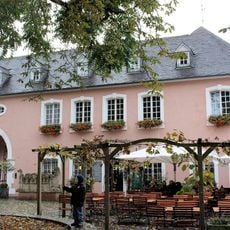
Category:Liebfrauenstraße 10 (Trier)
160 m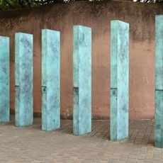
Memorial to the deportation of Sinti and Roma in Trier
299 mVisited this place? Tap the stars to rate it and share your experience / photos with the community! Try now! You can cancel it anytime.
Discover hidden gems everywhere you go!
From secret cafés to breathtaking viewpoints, skip the crowded tourist spots and find places that match your style. Our app makes it easy with voice search, smart filtering, route optimization, and insider tips from travelers worldwide. Download now for the complete mobile experience.

A unique approach to discovering new places❞
— Le Figaro
All the places worth exploring❞
— France Info
A tailor-made excursion in just a few clicks❞
— 20 Minutes
