
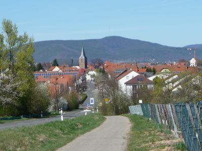
Kirrweiler, municipality in Südliche Weinstrasse district, Rhineland-Palatinate, Germany
Location: Maikammer
Elevation above the sea: 140 m
Website: http://kirrweiler.de
GPS coordinates: 49.30389,8.16389
Latest update: March 17, 2025 02:34
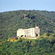
Hambach Castle
4 km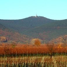
Kalmit
6.2 km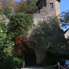
Kropsburg
5 km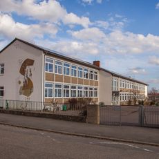
Dr.-Albert-Finck-Schule
4 km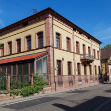
Winzergenossenschaft Hambacher Schloß
4.4 km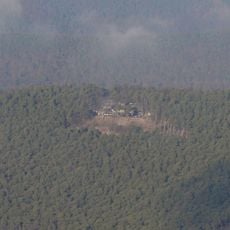
Hohe Loog
5.9 km
Altes Rathaus
3.7 km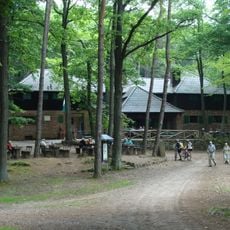
Hellerplatzhaus
8.8 km
Liebfrauenpfründhaus
4.5 km
Schloss Geispitz
3.8 km
Katholisches Pfarrhaus
4.3 km
Bischöfliches Försterhaus
3.5 km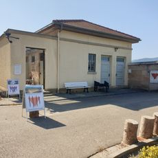
Gedenkstätte für NS-Opfer in Neustadt
4.2 km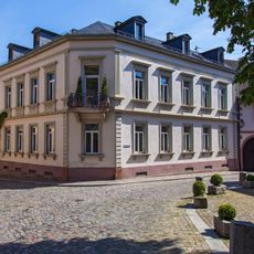
Gründerzeitliches Herrenhaus Grohé
4.3 km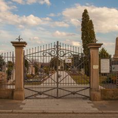
Neuer Friedhof
3.9 km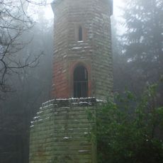
Schänzel Tower
9.9 km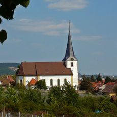
St. Jacobuskirche
4.3 km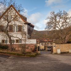
Wirtschaftshof des Schlößchens Geispitz
3.9 km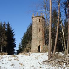
Steigerkopf
10 km
Totenkopf
8.6 km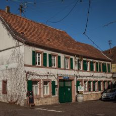
Weinstraße 240
3.8 km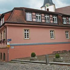
Oberhambacher Schulhaus
4.3 km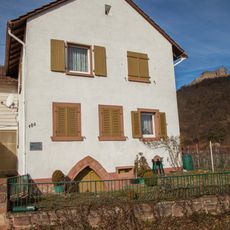
Andergasse 106
3.6 km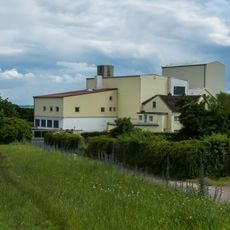
Hambacher Mühle
3.4 km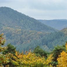
Hahnenschritt
6.3 km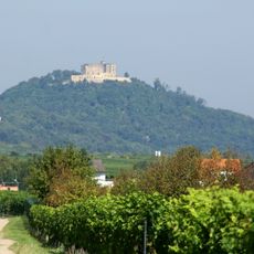
Schlossberg
4 km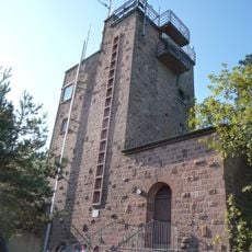
Kalmit Observation Tower
6.1 km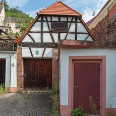
Pfründhaus St. Katharina
4.4 kmVisited this place? Tap the stars to rate it and share your experience / photos with the community! Try now! You can cancel it anytime.
Discover hidden gems everywhere you go!
From secret cafés to breathtaking viewpoints, skip the crowded tourist spots and find places that match your style. Our app makes it easy with voice search, smart filtering, route optimization, and insider tips from travelers worldwide. Download now for the complete mobile experience.

A unique approach to discovering new places❞
— Le Figaro
All the places worth exploring❞
— France Info
A tailor-made excursion in just a few clicks❞
— 20 Minutes