Hanstedt, municipality of Germany
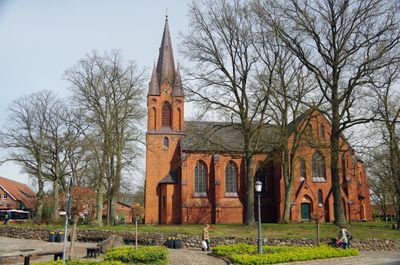
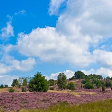
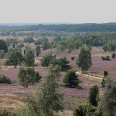
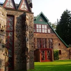
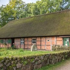
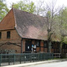
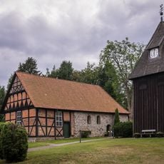
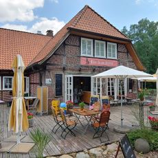
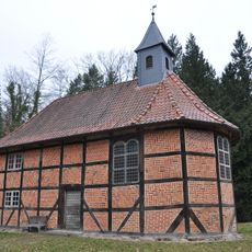
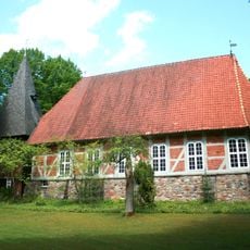
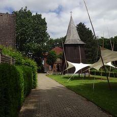
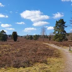
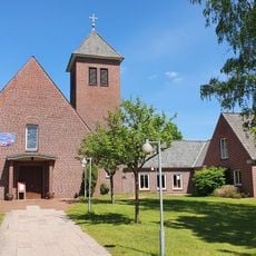
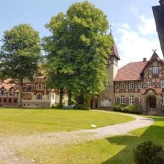
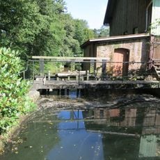
Hanstedt is a small municipality in the Harburg district of Lower Saxony, surrounded by heathlands, open fields, and forests. The settlement features simple traditional houses organized around a white-walled church with a modest steeple that serves as its focal point.
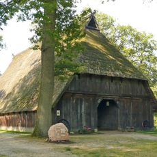
Hanstedt has been a small rural settlement for many centuries, with its history rooted in farming and local traditions. Over time it became the administrative center for a group of surrounding communities while maintaining its rural character.
The name reflects its historical role as a settlement hub, and today it serves as an administrative center for surrounding communities. The church at the center hosts gatherings where residents and visitors experience local traditions and seasonal celebrations together.
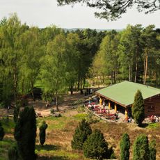
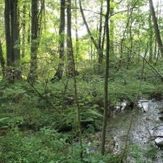
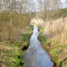
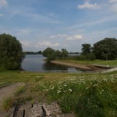
The town is accessible from larger cities like Hamburg and Hanover by car, bus, or train, making day trips convenient. Its small size means you can explore on foot or by bike, with well-marked trails running through heathland, forest, and countryside.
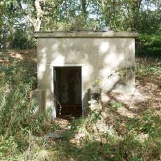
Nearby sits the Hexentanzplatz, a local site with old stories about witches dancing in the past, now a destination for hikers and curious visitors. This legendary spot connects regional folklore with the natural beauty of the surrounding landscape.
The community of curious travelers
AroundUs brings together thousands of curated places, local tips, and hidden gems, enriched daily by 60,000 contributors worldwide.