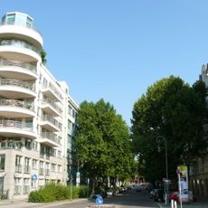
Moabit, Residential district in Berlin, Germany
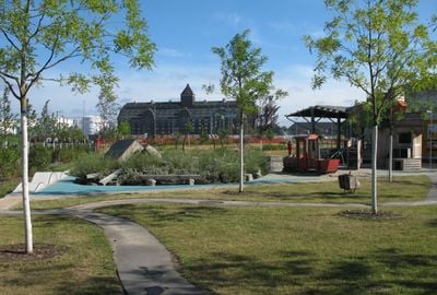
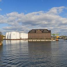
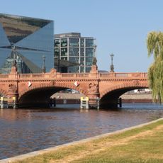
Moabit is a residential district within the borough of Mitte, sitting on a peninsula formed by the Spree River to the south, the Berlin-Spandau Navigation Canal to the north, and the Westhafen Canal to the west. Twenty-five bridges link the area to neighboring districts, allowing pedestrians and cyclists to cross the waterways easily.
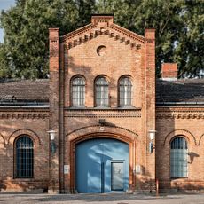
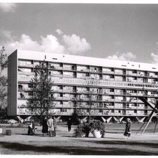
Huguenot settlers founded the colony of Old Moabit in 1716, initially attempting to grow mulberry trees for silk production on the marshy soil. The area transformed into an industrial district during the 19th century, with factories, worker housing, and several prisons shaping the neighborhood.
The Arminius Market Hall preserves the feel of a 19th-century covered market with vendors selling products from around the world under an iron roof. Shoppers browse stalls offering Turkish pastries, Italian cheeses and German sausages, a reflection of the people who live here today.
The central train station sits at the southern edge and connects the district to commuter trains, regional services, and long-distance lines, while several subway stops provide access to other parts of Berlin. Buses and trams run regularly through the area, offering connections even outside rush hours.
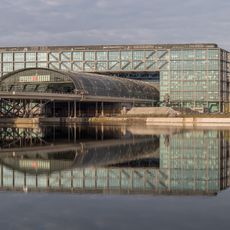
The Hamburger Bahnhof Museum of Contemporary Art occupies a converted mid-19th-century railway station building. Former train sheds provide large spaces for installations and video art that rarely fit in standard galleries.
The community of curious travelers
AroundUs brings together thousands of curated places, local tips, and hidden gems, enriched daily by 60,000 contributors worldwide.