Vaihingen, Administrative district in Stuttgart, Germany.
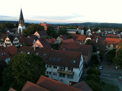
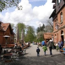
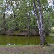
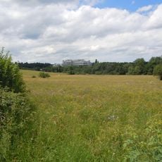
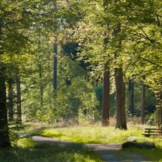
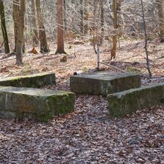
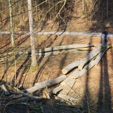
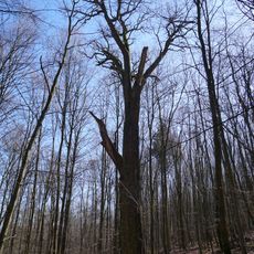
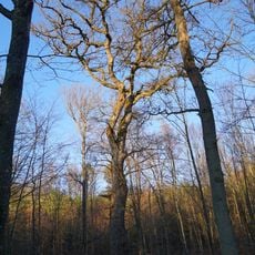
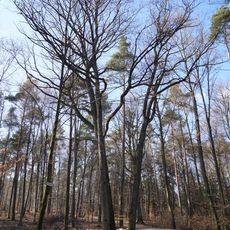
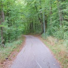
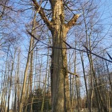
Vaihingen is an urban district of Stuttgart that spreads across a large area with extensive forests and the Nesenbach river running through its center. The landscape alternates between built-up zones, green spaces, and wooded hills that give the district its distinctive appearance.
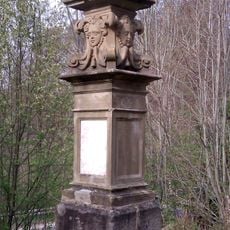
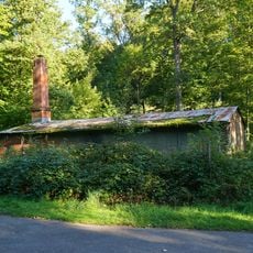
The area was first documented around 1100 under the control of the Counts of Calw and remained a rural community for centuries. Its incorporation into Stuttgart occurred in 1942 as part of wartime administrative reforms.
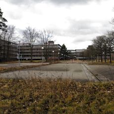
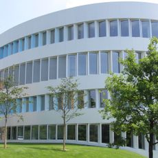
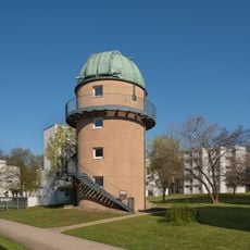
The area functions as a significant hub for research and education, where students and scientists move between lecture halls and laboratories throughout the day. One observes how the presence of academic institutions shapes the local rhythm and character of daily life.
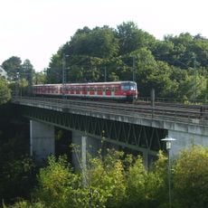
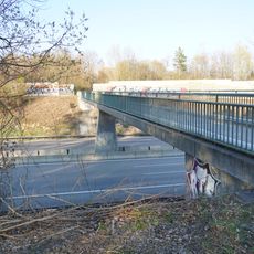
The district is well connected by Stuttgart-Vaihingen S-Bahn station, which offers quick access to the city center and multiple bus lines for local travel. Those arriving by car will find parking around the university area, though traffic can be heavy during peak hours.
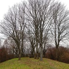
The district contains Bernhartshöhe at 548 meters, Stuttgart's highest point, offering views across the entire city from its summit. On clear days, this elevation provides far-reaching vistas over the surrounding landscape.
Location: Stuttgart
Reference: Äußerer Stadtbezirk Nr. 15
Website: https://stuttgart.de/rathaus/stadtbezirke/vaihingen
GPS coordinates: 48.73010,9.10970
Latest update: December 13, 2025 17:58
Eiermann campus
2.6 km
Parkseen
3.2 km
Heslacher Wasserfälle
3.2 km
Fraunhofer Institute for Industrial Engineering
1.5 km
Bernhartshöhe
3.3 km
Katzenbacher Hof
3.9 km
Wasserburg Rohr
1.5 km
Nesenbachviadukt
833 m
Freibad Rosental
907 m
Computermuseum der Stuttgarter Informatik
1.7 km
Vodafone-Funkturm Stuttgart-Vaihingen
2.2 km
Büsnauer Wiesental
2.3 km
Universitätssternwarte Pfaffenwald
1.9 km
Glemswald und Stuttgarter Bucht
3.2 km
Denkmal für Veit Demmler
3 km
Library of the Max Planck Institutes in Stuttgart
2.8 km
Gedenkstätte Taufstein der Hospitalkirche
4.5 km
3 Brunnen u. Rotbuche am Hummelrain
2.5 km
1 Mammutbaum "Möhringer Landstraße 33"
496 m
Dicke Eiche im Mietholz
4.5 km
Waldbrüderhaus Vaihingen
83 m
Eiche im Hochberg
5.2 km
3 Eichen im Eichgern
2.4 km
Hexenhaus Sindelfingen
3.8 km
Glemswald
4.7 km
Ochsenwaldeiche
2.5 km
Brücke Römerstraße über die A8
2.3 km
Kampfmittelbeseitigungsdienst Baden-Württemberg
3.3 kmVisited this place? Tap the stars to rate it and share your experience / photos with the community! Try now! You can cancel it anytime.
Discover hidden gems everywhere you go!
From secret cafés to breathtaking viewpoints, skip the crowded tourist spots and find places that match your style. Our app makes it easy with voice search, smart filtering, route optimization, and insider tips from travelers worldwide. Download now for the complete mobile experience.
A unique approach to discovering new places❞
— Le Figaro
All the places worth exploring❞
— France Info
A tailor-made excursion in just a few clicks❞
— 20 Minutes